

Chulilla, the village
White houses perched above the Turia canyon, an Arab castle on top and the Los Serranos district all around, about 60 km from Valencia.
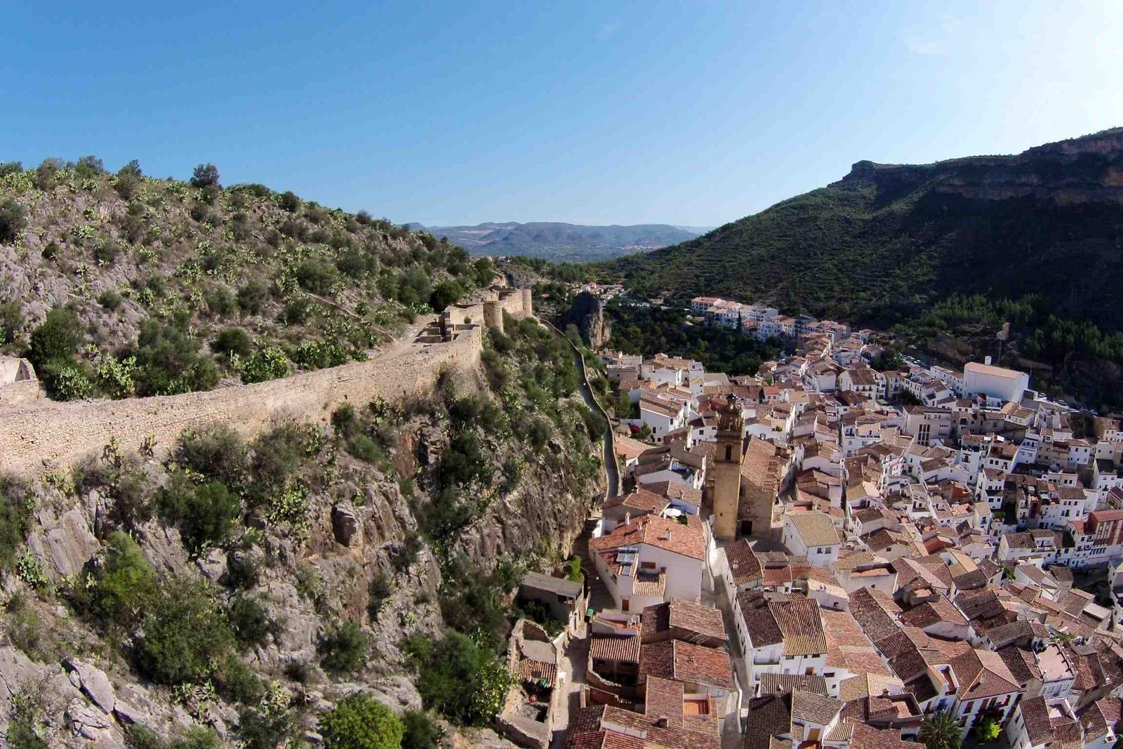
| ~60 km | from Valencia, about an hour by car |
| ~40 km | from Valencia airport (Manises) |
| 538 ha | of the Los Calderones Municipal Natural Area, designated in 2007 |
| 1872 | last military use of the castle, which has watched over the village since Moorish times |
The castle
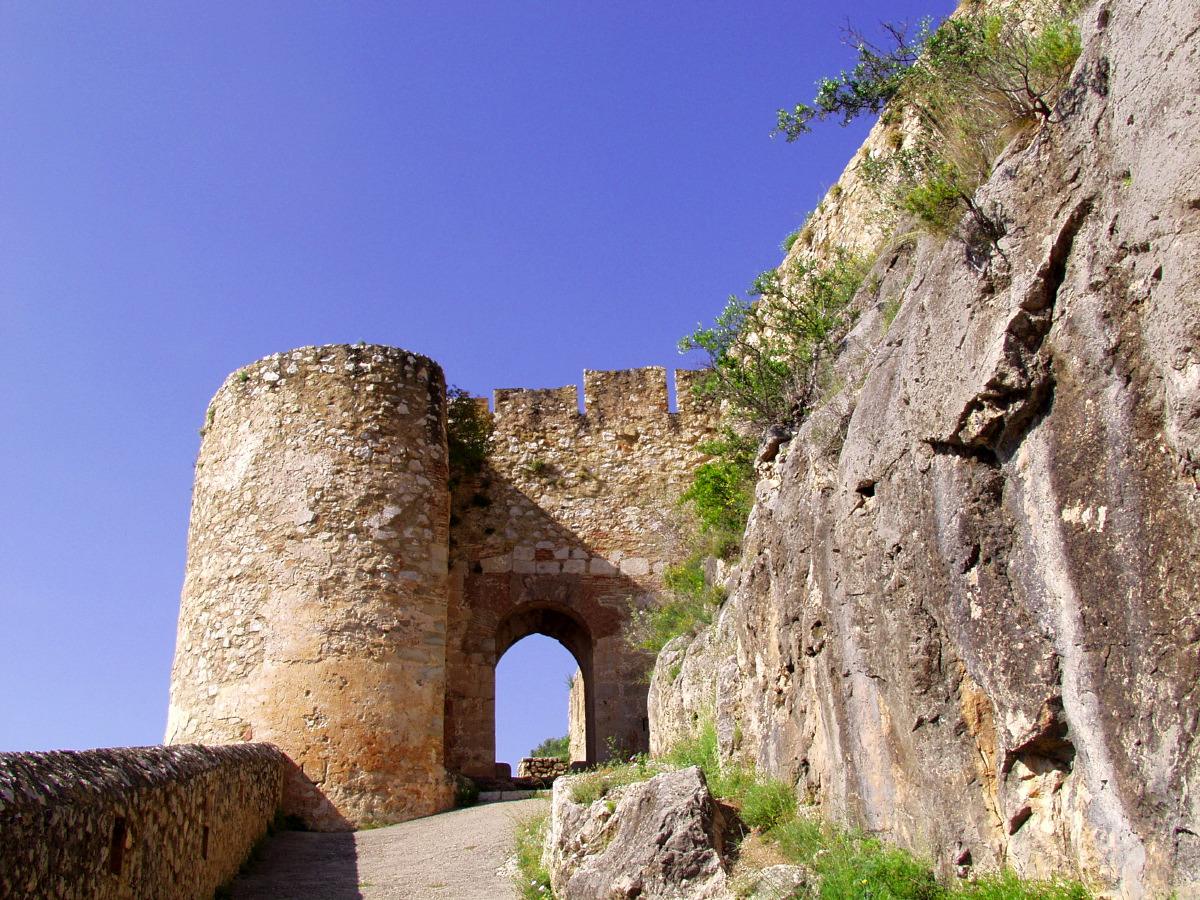
A fortress of Moorish origin, probably built on top of an earlier one. It was remodelled between the 14th and 16th centuries, served as a residence and as a prison for clergy, and was used in the War of the Spanish Succession, the Peninsular War and the Carlist Wars, until 1872. It has been a listed historic-artistic monument since 1981.
It guards the only accessible side of the crag: the rest is sheer cliff above the Turia. You walk up from the village, and it still has a walled enclosure more than 200 metres long, towers and four cisterns.
The castle, told by its chronicler
The structure and history of the fortress, explained by the town chronicler in the Town Council's video.
The old town
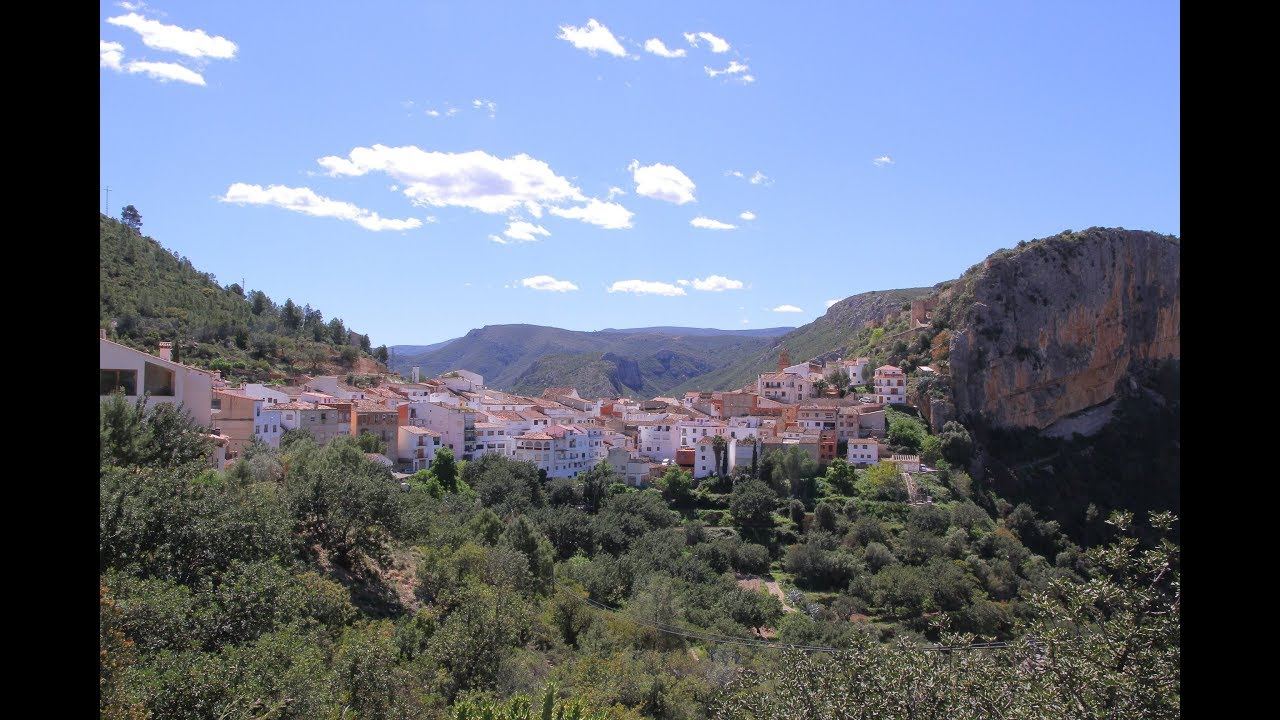
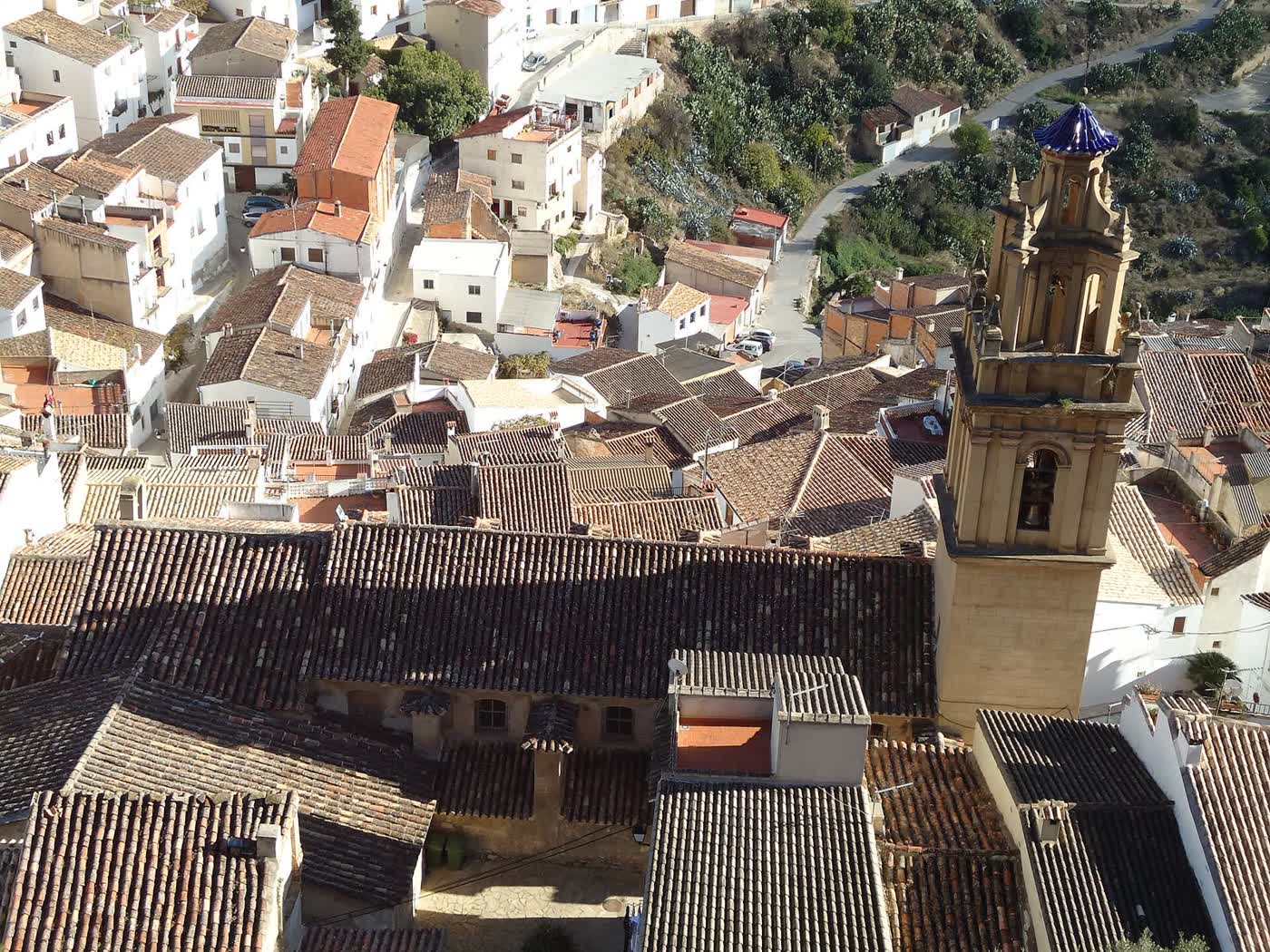
Narrow streets, whitewashed houses and viewpoints over the canyon. The church of Nuestra Señora de los Ángeles was built between the 17th and 18th centuries on the site of an old mosque; the hermitage of San Josepe dates from the 17th century.
For the views, climb to the La Peñeta and La Ermita viewpoints.
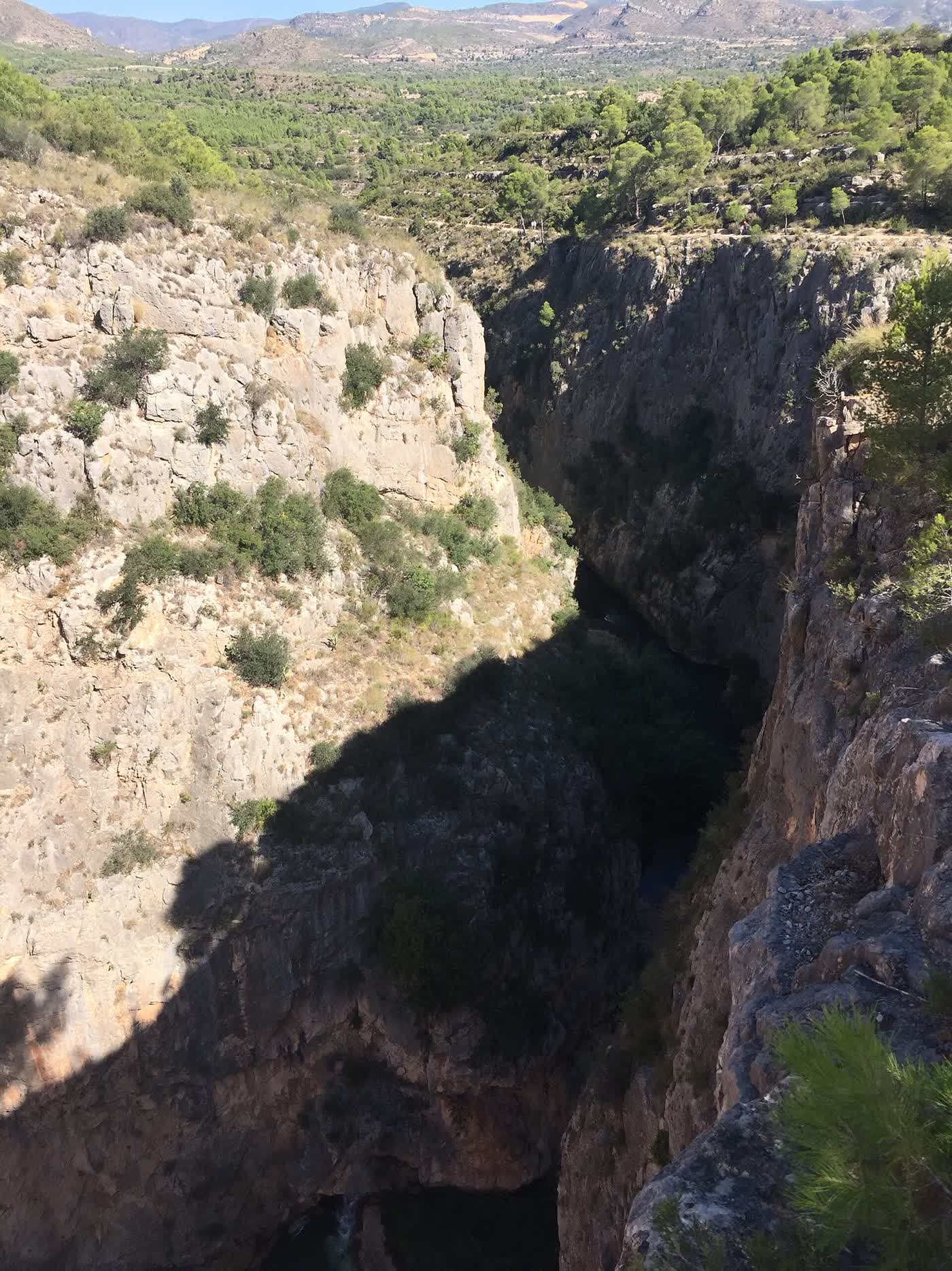
Water, rock and rock art
Here the Turia has carved a canyon with sheer walls: the Los Calderones Municipal Natural Area. At its bottom lie the Charco Azul and the Salto weir, where the valley’s irrigation begins. Upstream is the Loriguilla reservoir, opened in 1967.
In the Falfiguera ravine there are rock paintings of human figures and animals, discovered in 1998, part of the Rock Art of the Mediterranean Basin, a World Heritage Site. Look up: vultures and other birds of prey soar over the canyon.
Long lunches
Los Serranos cooking is hearty spoon food: olla de carne, olla de berzas, rin-ran and ajoarriero. For dessert, reguiño, Chulilla’s traditional sweet, plus congretes, mantecados and almond cakes, with mistela or vino rancio.
In the nineties, La Rueda and El Pozo were the first to serve this food to visitors; Ca Bárbara, Las Bodegas and Hoces del Turia came later. Today almost all of them are on Calle Maestro Amblar and Plaza de la Baronía, a few minutes’ walk from the accommodation. Out of season many close one weekday: call ahead, especially if you’re a group.

Where to eat
| Restaurant | Cuisine | Address | Phone | Average price |
|---|---|---|---|---|
| Hoces del Turia | Mediterranean and grilled food | C/ Maestro Amblar, 25 | 625 56 41 92 | 20–30 € |
| El Pozo | Home cooking: rice dishes and olla stew | C/ Arrabal, 7 | 640 98 90 20 | 17–30 € |
| La Cañadeta | Grill house | C/ Maestro Amblar, 47 | 692 64 31 41 | 20–30 € |
| Ca Bárbara | Tapas and traditional cooking | Pl. de la Baronía, 16 | 961 65 73 23 | 10–20 € |
| Goscanos | Climbers’ bar, home cooking | C/ Maestro Amblar, 72 | 604 46 61 47 | 10–20 € |
| La Ruta | Bar, Spanish cooking | Pl. de la Baronía, 12 | 679 65 33 75 | 10–20 € |
| La Baronía | Bar: tapas and sandwiches | Pl. de la Baronía, 8 | 656 42 94 73 | 10–20 € |
| La Hoya | Bar-restaurant: tapas and meat | C/ Isabel la Católica, 1 | 622 72 47 79 | — |
Average price per person according to Restaurant Guru. Addresses and phone numbers checked against the Town Council’s services guide and each venue’s website and listings (November 2026); confirm them when you book.
Festivals
| When | What |
|---|---|
| Before Lent | Carnival |
| May, several weekends | La Enramá, in honour of San Vicente: mayos, poplar-branch decorations and human towers |
| Second week of August | Fiestas de Santa Bárbara, the village’s main festival |
| Late August | Fiestas de la Ermita |
| September | Cristo del Perdón: decorated crosses and night-time processions |
Don’t miss
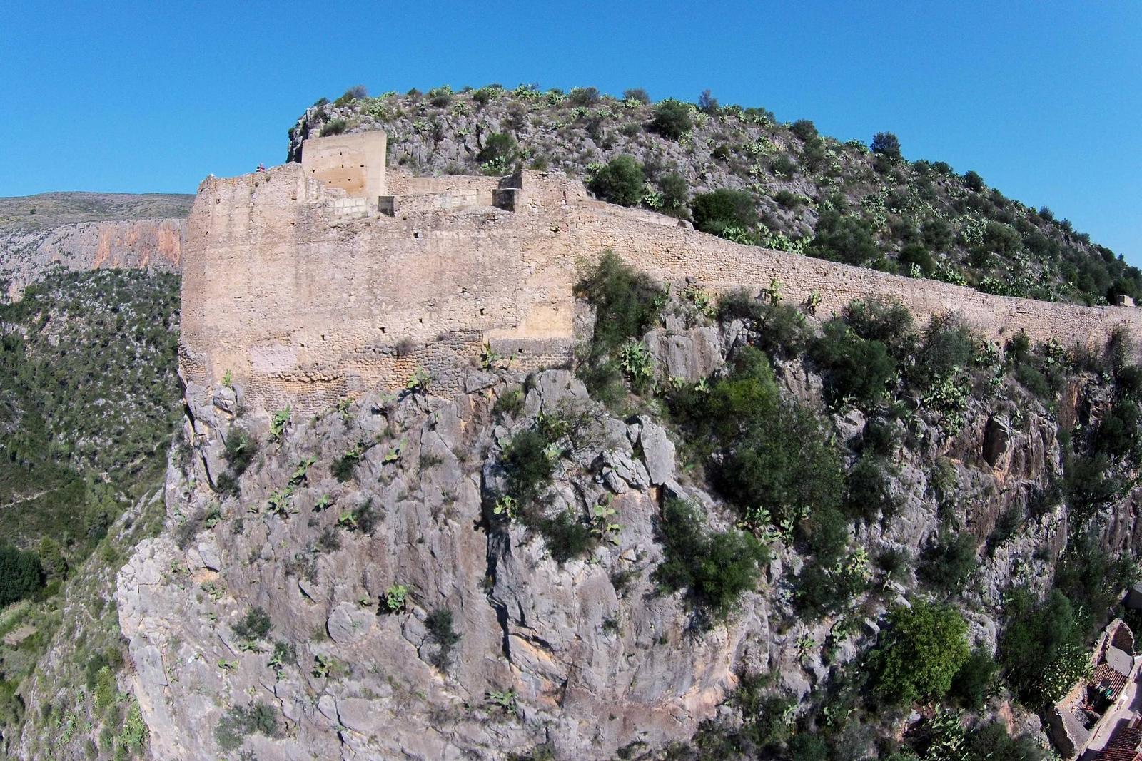
Up to the castle
The Arab fortress and the best views over the village and the canyon.
In the village
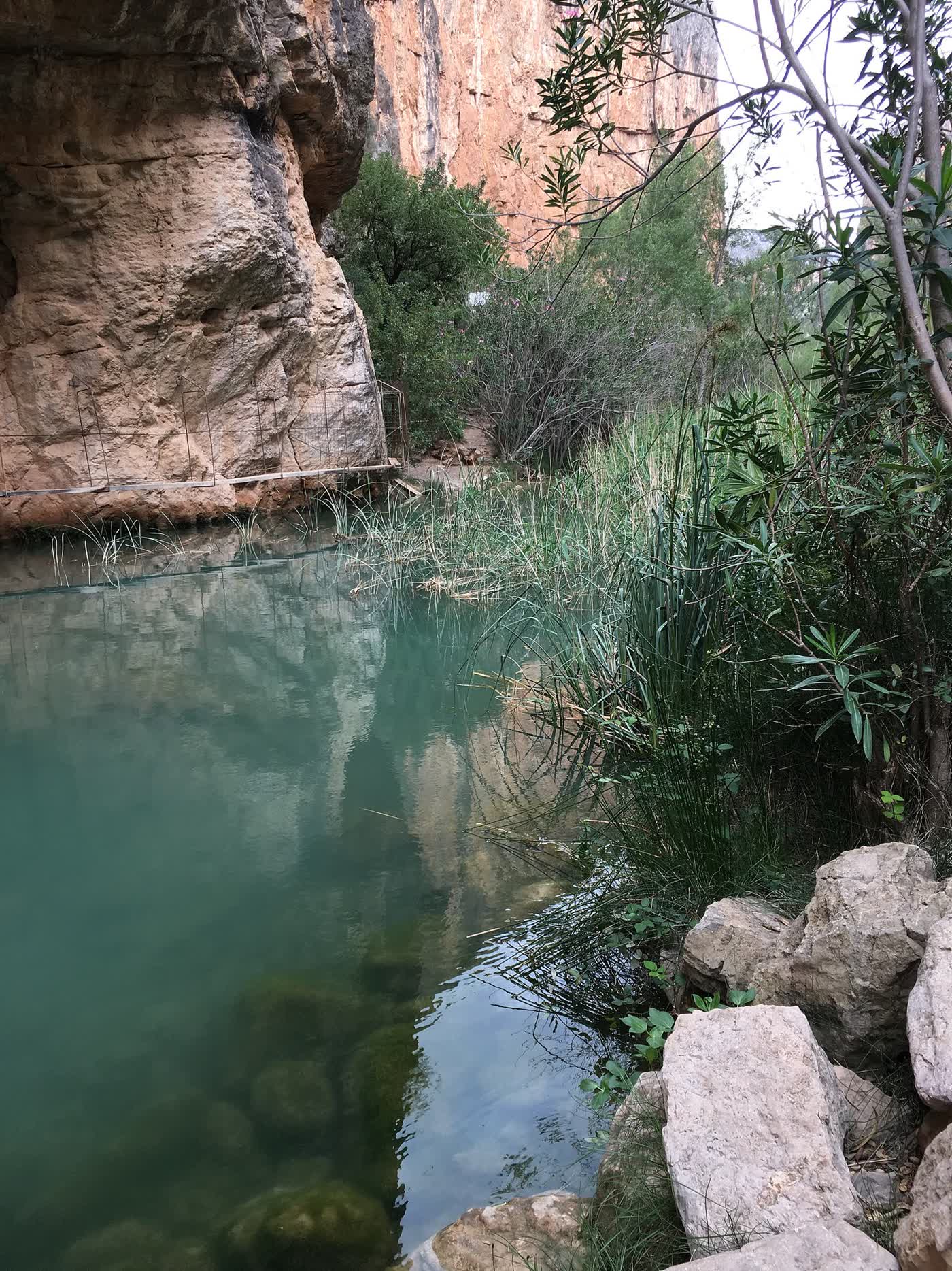
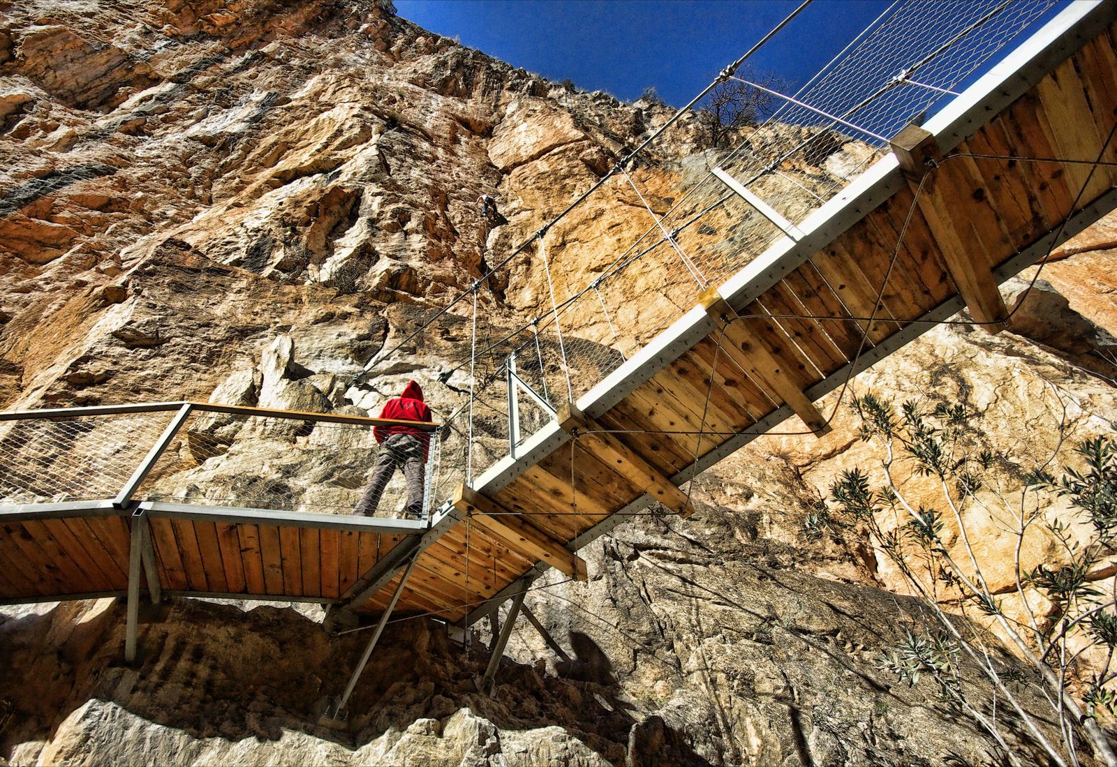
The church and the old town
A 17th- and 18th-century church built on the site of an old mosque.
In the village
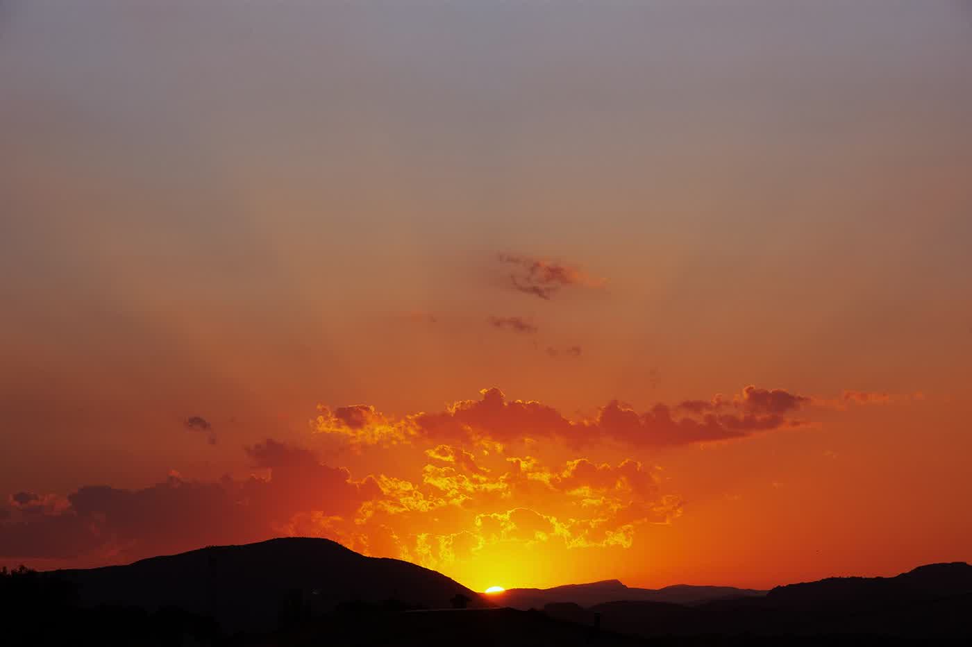
Sunset
The sun setting behind the hills, seen from the village viewpoints.
Viewpoints of La Peñeta and La Ermita
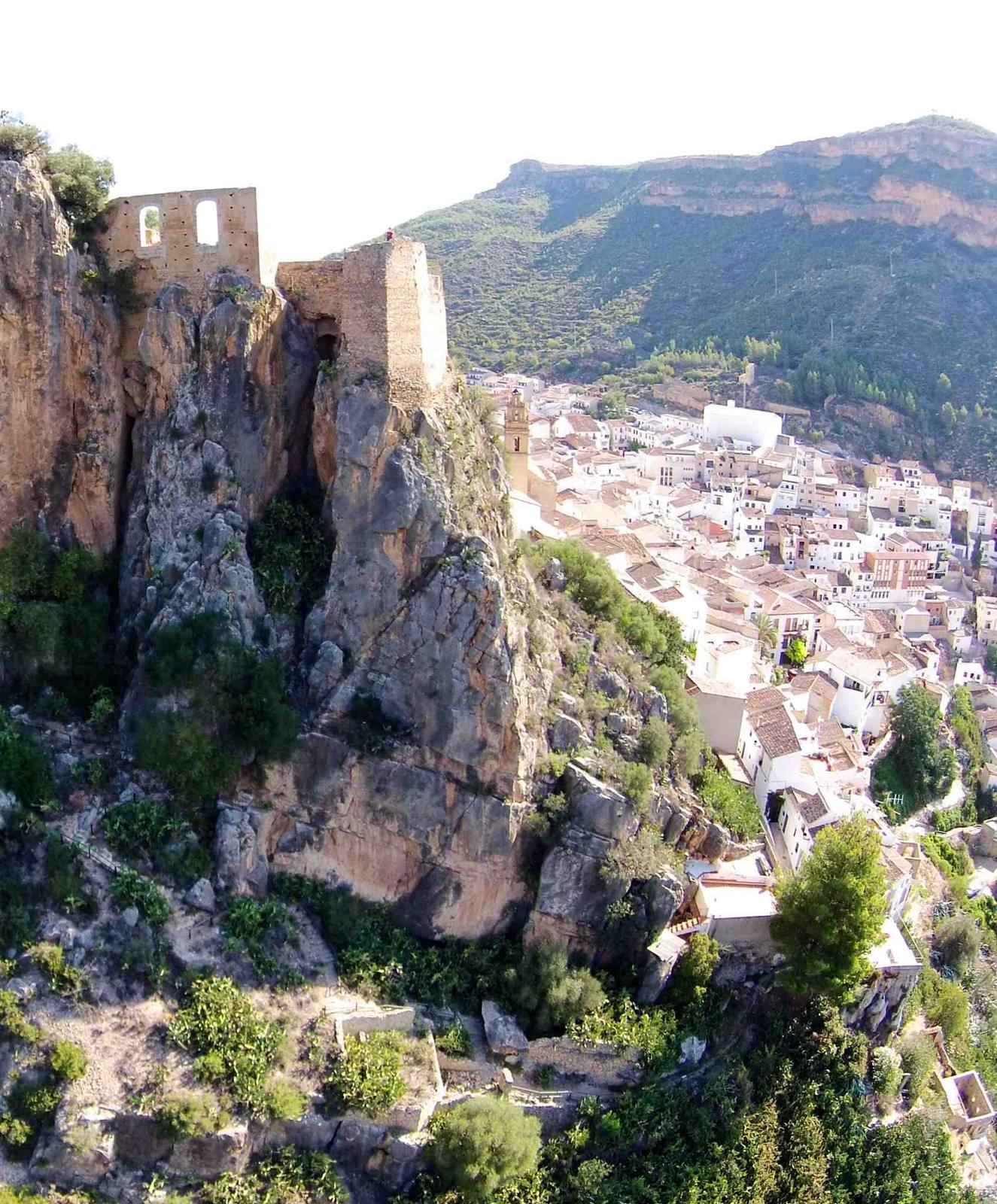
The castle window
The village and the hills framed by the Queen’s window, in the fortress.
At the castle
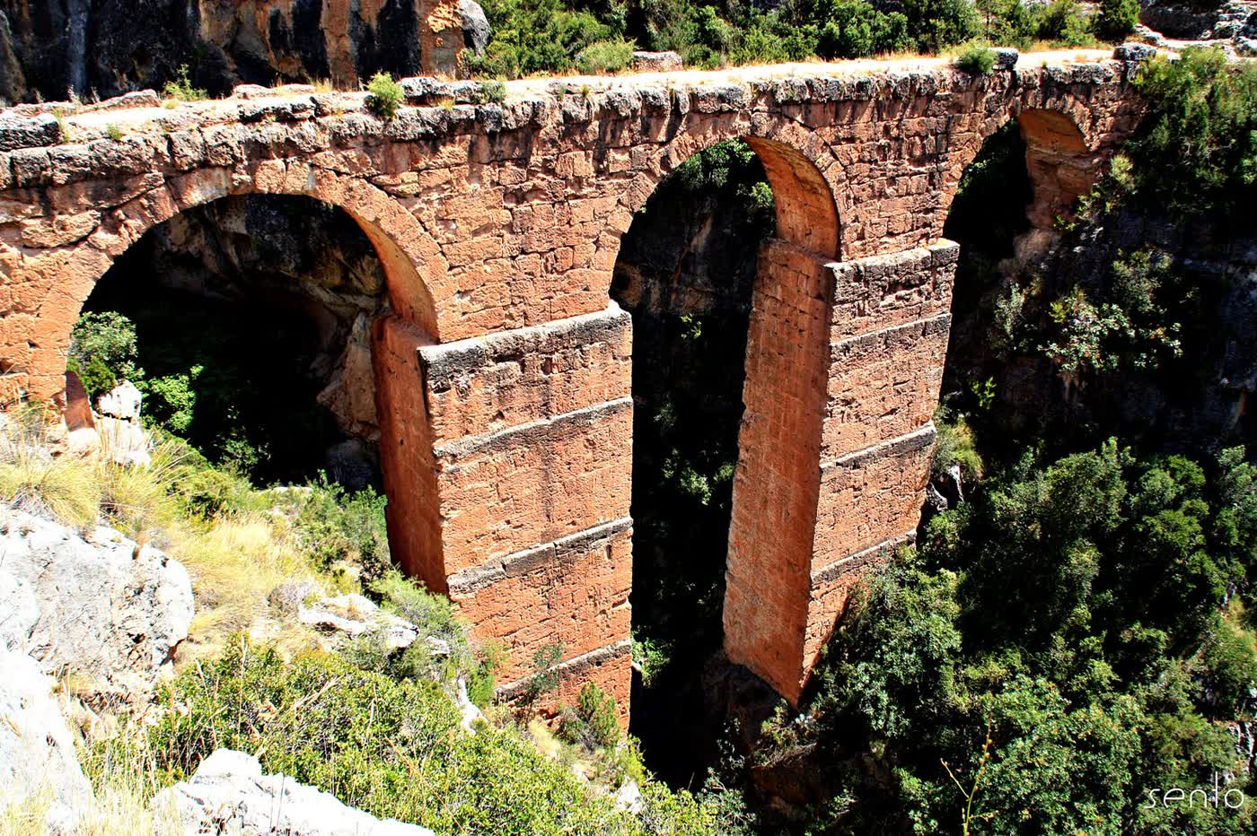
The Peña Cortada aqueduct
Roman arches and tunnels carved into the rock, linking up with Chelva’s Ruta del Agua.
~20 km · Chelva
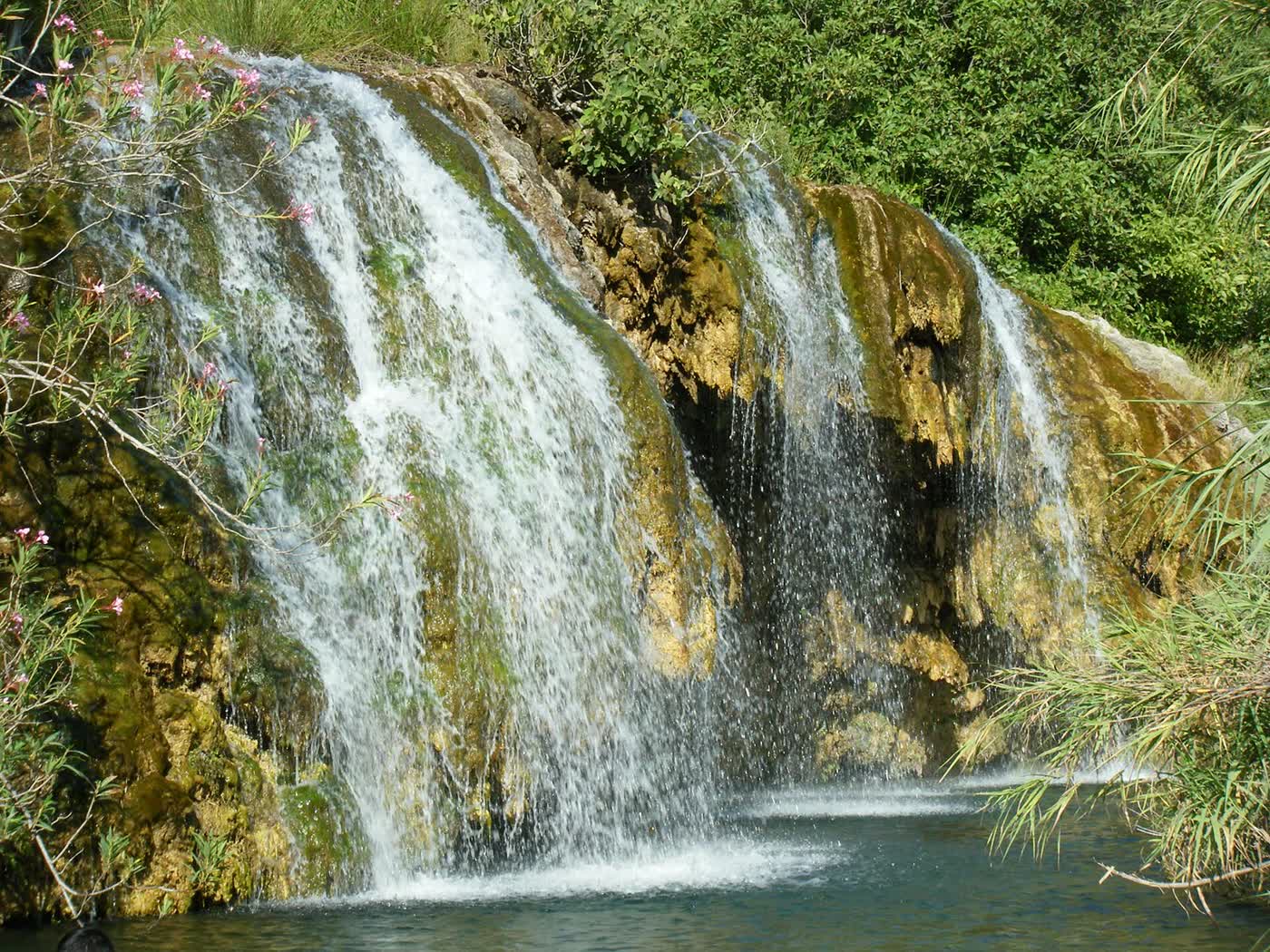
Las Toscas
Tufa waterfalls and pools in the Chera–Sot de Chera Natural Park.
Sot de Chera · check swimming conditions
Practical information
- Tourist office: Calle de las Eras, s/n · 961 657 979 · turismo@chulilla.es.
- Getting there: driving is the most practical option; public transport runs very infrequently.
- Parking: there’s a free car park at the entrance to the village, about five minutes’ walk away, and paid car parks that fill up at weekends and on public holidays.
- Emergencies: 112.
- Medical centre: C/ Maestro Amblar, 36 · appointments 962 71 83 11 · urgent care 962 71 83 25.
- Pharmacy: C/ Valencia, 26 · 961 65 70 19.
- Guardia Civil: Chulilla has no local police; it is covered by the Villar del Arzobispo station, C/ Jorge de Austria, 6 · 962 72 00 10 (emergencies, 062).
- Town Council: Plaza de la Baronía, 1 · 961 65 70 01 · info@chulilla.es.
Frequently asked questions
Where is Chulilla and how do you get there?
In the Los Serranos district, in the province of Valencia: about 60 km from the city (around an hour by car) and about 40 km from Valencia airport (Manises). Driving is the most practical option, because public transport runs very infrequently.
What is there to see in Chulilla?
The castle of Moorish origin, the old town with the church of Nuestra Señora de los Ángeles, the La Peñeta and La Ermita viewpoints, the Turia canyon with the Charco Azul and the hanging bridges, and the rock paintings in the Falfiguera ravine, a World Heritage Site.
Can you visit Chulilla castle?
Yes: you walk up from the village. It still has a walled enclosure more than 200 metres long, towers and four cisterns, and it has been a listed historic-artistic monument since 1981.
Where can I eat in Chulilla and what should I order?
Almost all the restaurants are on Calle Maestro Amblar and Plaza de la Baronía. It’s hearty spoon food: olla de carne, olla de berzas, rin-ran and ajoarriero, and for dessert reguiño, the traditional sweet. Out of season many close on a weekday: call ahead.
Where can I park in Chulilla?
There’s a free car park at the entrance to the village, about five minutes’ walk away, and paid car parks that fill up at weekends and on public holidays. The streets in the centre are narrow.
When are the festivals in Chulilla?
La Enramá, in honour of San Vicente, on several weekends in May; the main festival, Santa Bárbara, in the second week of August; the La Ermita festival, at the end of August; and the Cristo del Perdón, in September.
Where is the Chulilla tourist office?
At Calle de las Eras, s/n. Phone 961 657 979 and email turismo@chulilla.es.
Village map
The castle, the viewpoints, the canyon and the car parks. Paid car parks are shown in yellow.
- Chulilla Castle
- La Peñeta viewpoint
- El Frailecico
- Charco Azul viewpoint
- Hoces del Turia viewpoint
- Hanging bridges
- La Cruz viewpoint
- Hanging Bridges Route
- Path
- Track
- Car park (yellow: paid)
Map data: © OpenStreetMap contributors (ODbL). Approximate map: it doesn't replace the waymarks or the guidebook.

See Chulilla right now
How the rock looks, whether there are clouds over the castle, whether the sun is on the canyon.
Open the webcam