Hanging Bridges Route
Chulilla’s most famous route, also known as Los Calderones or the Pantaneros trail: viewpoints over the Charco Azul, the canyon closing in and two hanging bridges over the river.
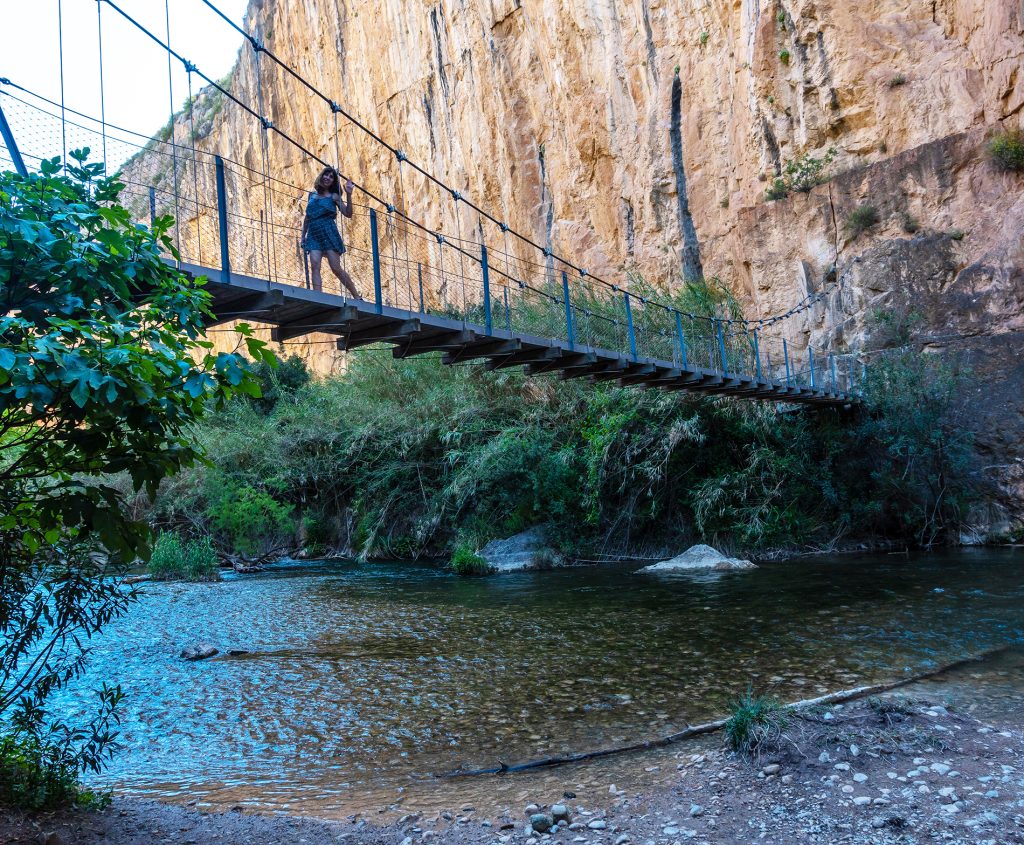
| ~10 km | there and back to the Loriguilla reservoir; about 5 km to the bridges |
| 15 m | above the river at the first bridge, which is about 20 m long |
| Moderate | with steps and sections along the cliff edge; about 3 hours in total |
| 1 € | entry fee to the natural area per person, under the 2019 by-law |
A trail with a history
In the 1950s, the workers building the Loriguilla reservoir walked there every day from Chulilla. To shorten the way, they strung two bridges across the Turia canyon. The 1957 flood swept them away, and they weren’t rebuilt until 2013.
Today it’s the most popular route in the village: the first bridge hangs about 15 metres above the river and the second, about 28 metres long, passes just over 5 metres above the water.
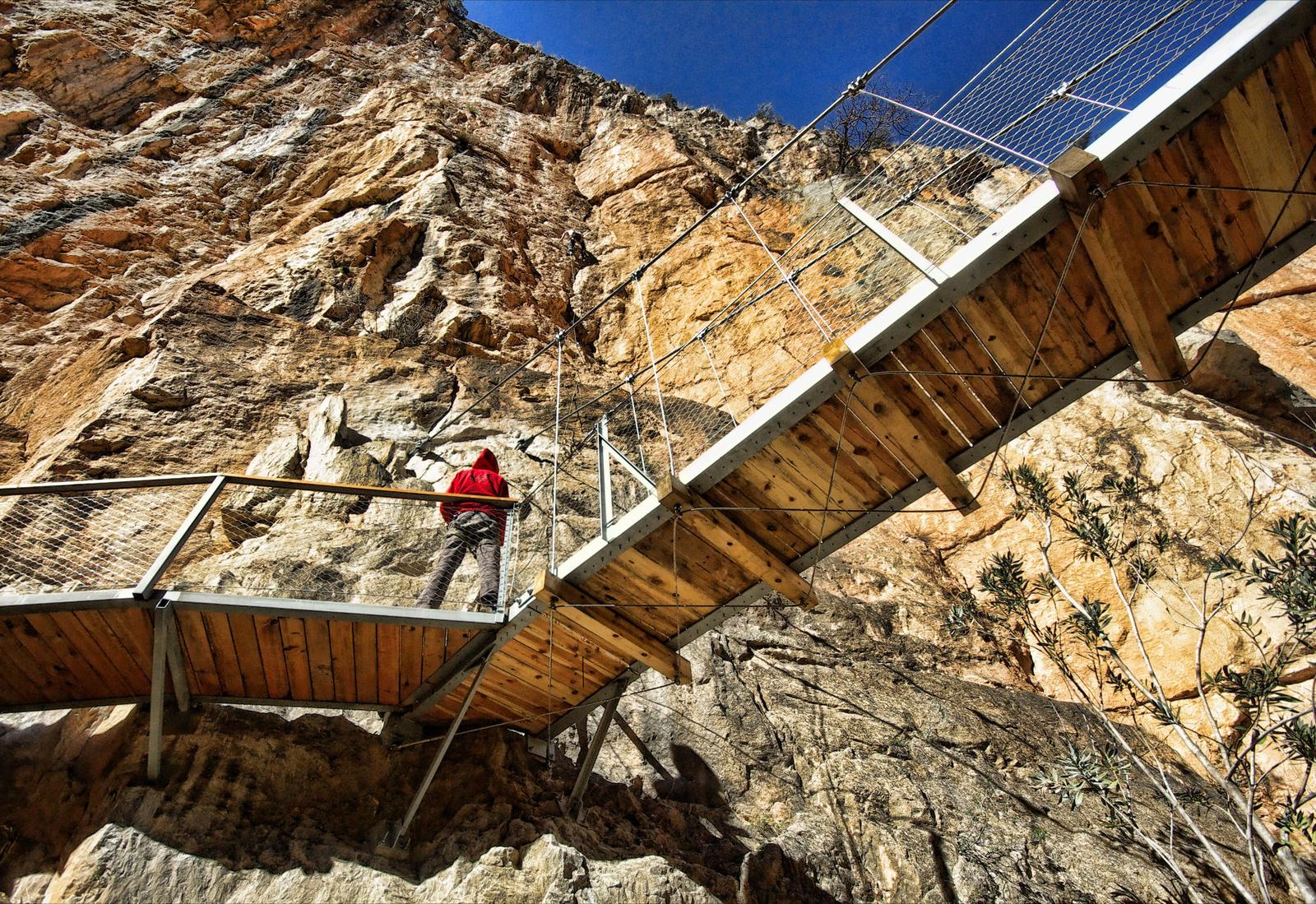
The route on video
From the village to the bridges, in the Chulilla Town Council video.
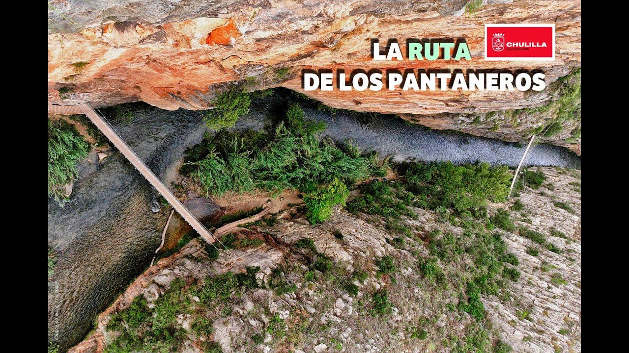
Step by step
- Start at Plaza de la Baronía. Leave the village along Calle Maestro Amblar and follow the road to the El Altico hostel.
- El Altico viewpoint. First view of the canyon; below you can see the sluice-gate building of the channel that feeds the hydroelectric plant.
- Along the canyon rim. The trail runs very close to the drop: take extra care with children.
- La Carrucha viewpoint. The best view of the Charco Azul, the still water of the river at your feet.
- The canyon closes in. Only the river gets through; on the other side rises La Punta.
- Los Calderones. The river makes a great meander. Go down the workers’ steps to the first bridge and then on to the second.
- On to the reservoir, if you want more. The trail continues towards the Loriguilla dam and passes the ruins of the 18th-century hermitage of San José de los Gancheros.
Good to know
- Access: the 2019 municipal by-law sets a fee of €1 per person to enter the Los Calderones Natural Area; under-10s, over-65s and registered residents are exempt. Confirm it at the tourist office.
- Short variant: from the Chulilla Ecoparque you reach the bridges sooner, but without passing the viewpoints.
- On the bridges: cross them in groups. This route isn’t for anyone with vertigo, nor for pushchairs.
- Heat and closures: in summer avoid the sunniest hours and bring water. The area may close due to fire risk or after heavy rain.
- Dogs: always on a lead.
Frequently asked questions
How much does the Chulilla hanging bridges hike cost?
The 2019 municipal by-law sets a fee of €1 per person to enter the Los Calderones Natural Area. Under-10s, over-65s and registered residents are exempt. Confirm it at the tourist office.
How long does the hanging bridges hike take and how many kilometres is it?
About 5 km from the village to the bridges and about 10 km there and back if you carry on to the Loriguilla reservoir: around 3 hours in total, moderate difficulty.
Where does the hanging bridges hike start?
At Plaza de la Baronía, in the centre of Chulilla. There’s a shorter variant from the Ecoparque, which reaches the bridges sooner but without passing the viewpoints.
How high are the Chulilla hanging bridges?
The first hangs about 15 metres above the river; the second, about 28 metres long, crosses just over 5 metres above the water. They were rebuilt in 2013.
Can you do the hanging bridges hike with children?
With care: there are steps and stretches right by the drop, so keep an eye on children at all times. It’s not a route for anyone who suffers from vertigo, nor for pushchairs.
Can I bring my dog?
Yes, always on a lead.
Can the hike be closed?
Yes: the natural area can close due to fire risk or after heavy rain. In summer avoid the sunniest hours and take water.
Where it is
Location on the map of the area. Always follow the trail waymarks.
- Charco Azul viewpoint
- Hanging bridges (this route)
- Loriguilla dam
- La Cruz viewpoint
- Chulilla Castle
- Rock paintings (Falfiguera ravine)
- Hanging Bridges Route
- Path
- Track
- Car park (yellow: paid)
Map data: © OpenStreetMap contributors (ODbL). Approximate map: it doesn't replace the waymarks or the guidebook.
More routes from Chulilla
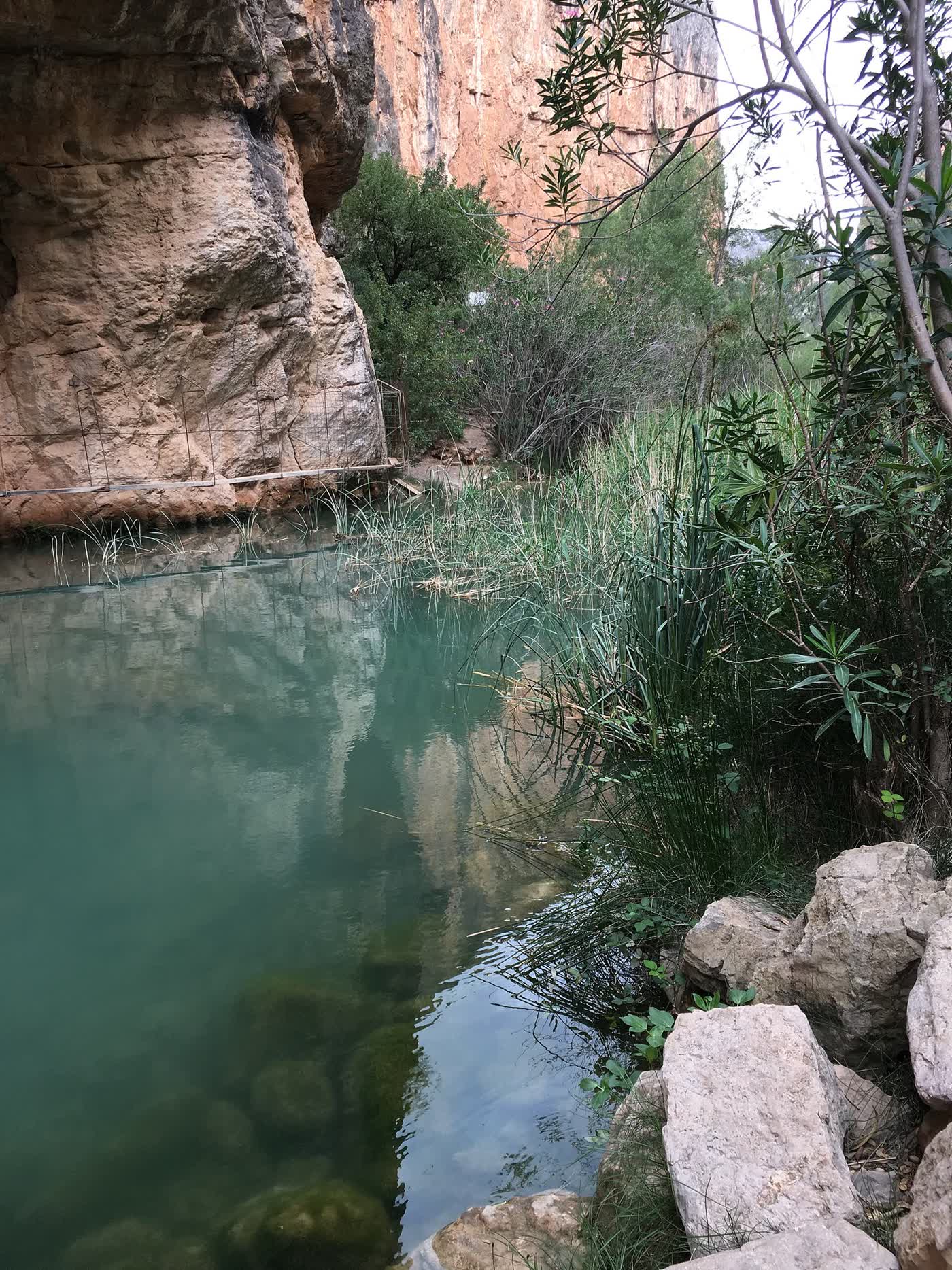
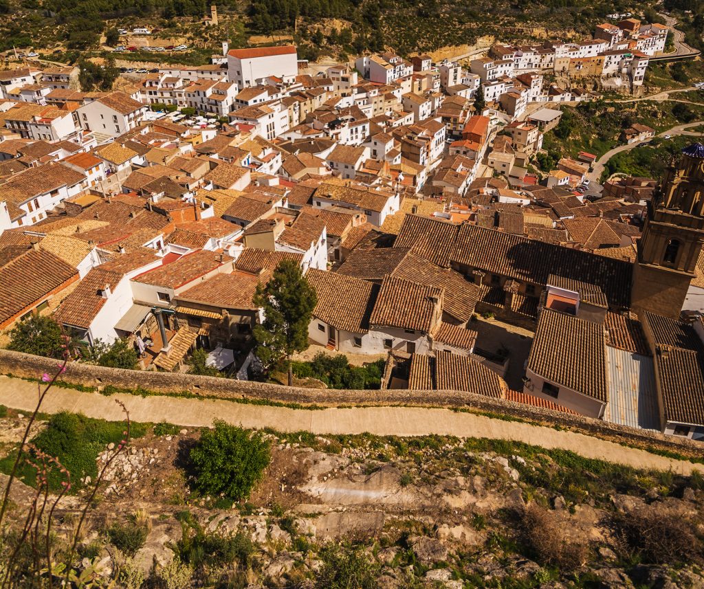
Las Cuevas – La Peñeta
The shortest walk, round the back of the castle, to the best viewpoint over the valley.
1.1 km · SL-CV 72
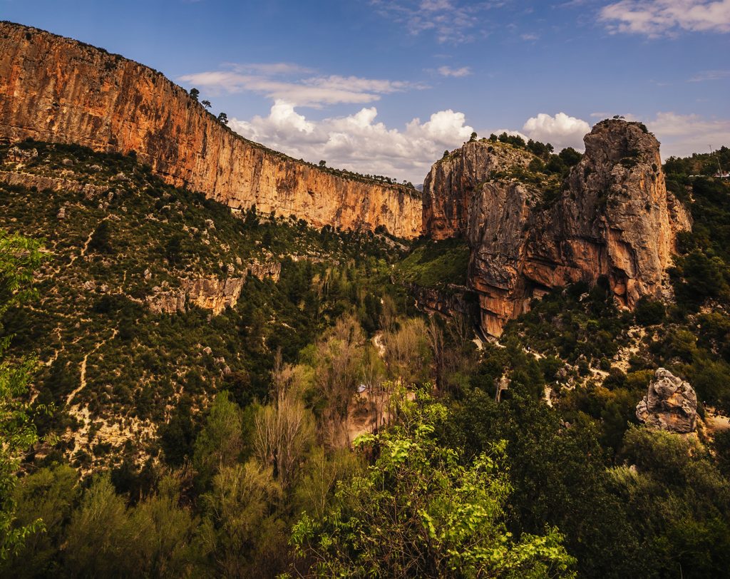
La Muela and La Cruz viewpoint
Climb to the ridge of La Muela via the Lebrillico spring.
3.5 km · SL-CV 71
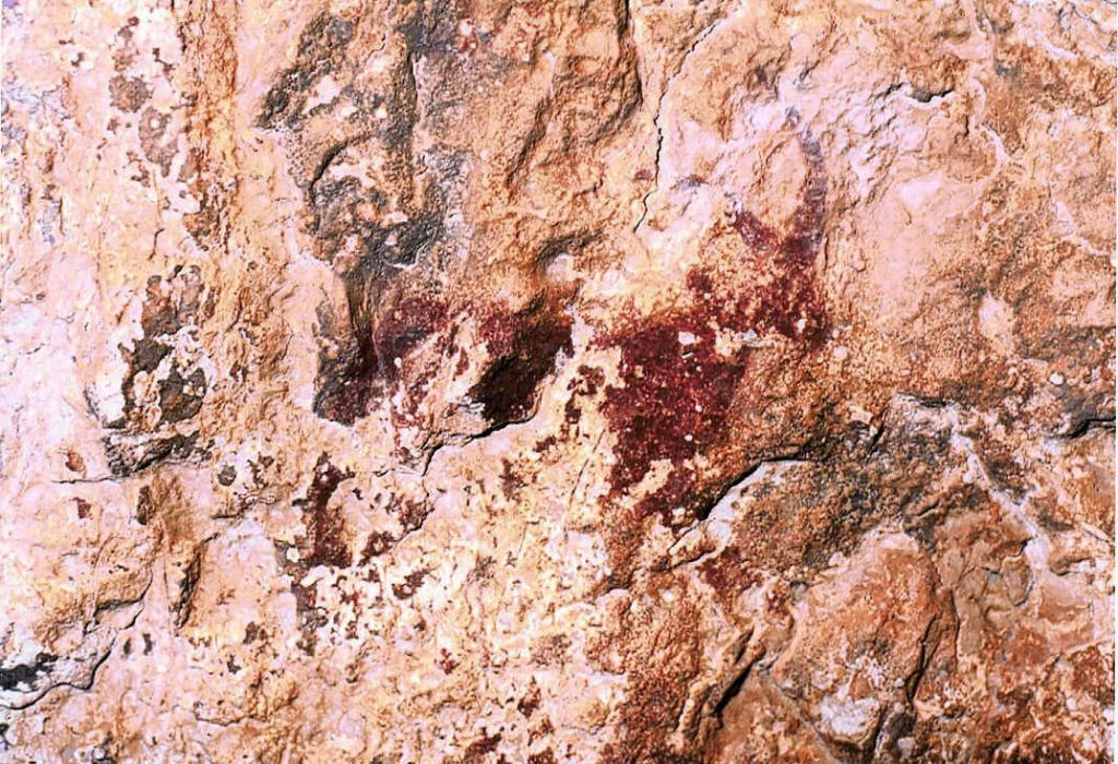
The rock paintings
Hunting and dancing scenes thousands of years old, a World Heritage Site.
Falfiguera ravine

El Frailecico and its caves
A Moorish watchtower, a cave once used as a livestock pen and a waterfall that only appears after rain.
~8 km · moderate to hard
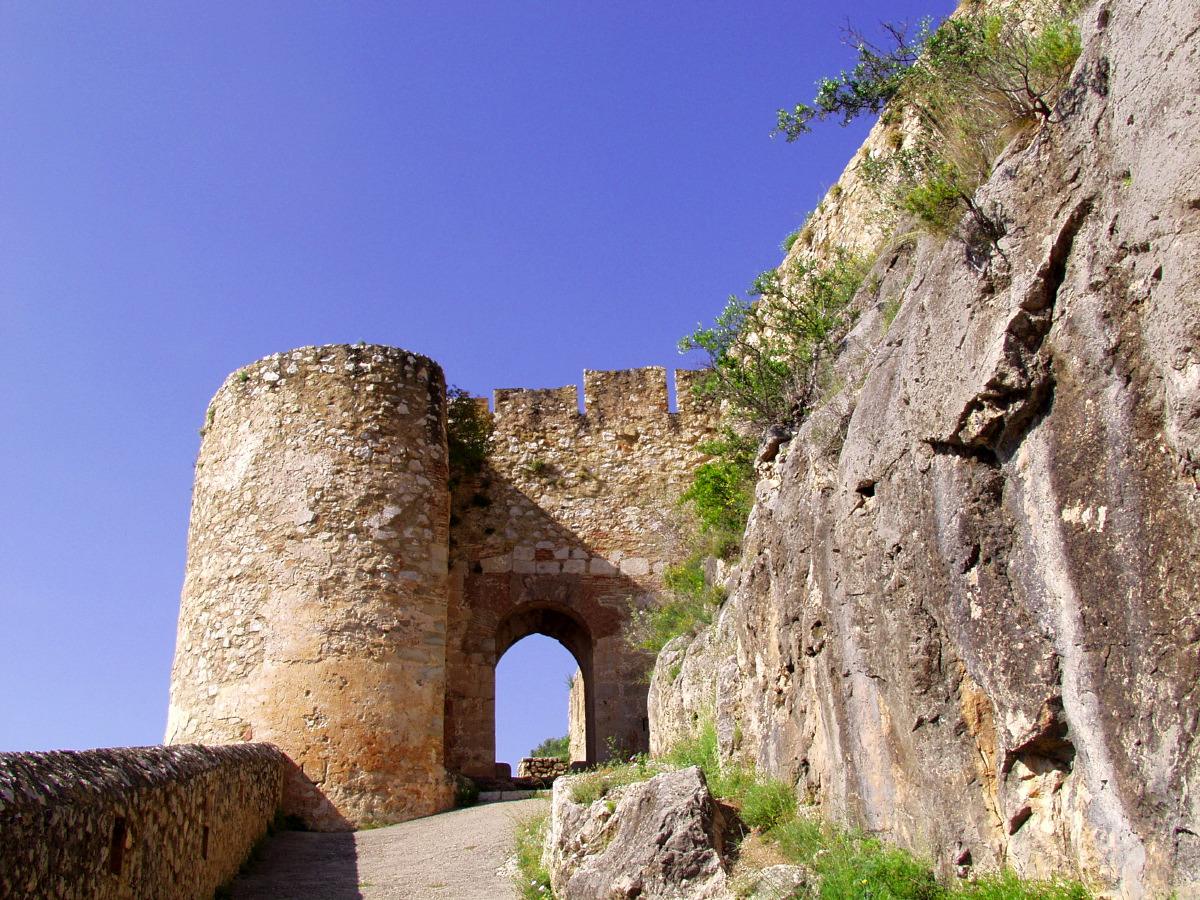
Up to the castle
The Arab fortress watching over the village and the canyon from the top of the crag.
In the village

The Peña Cortada aqueduct
Roman arches and tunnels cut into the rock, between Chelva and Calles.
PR-CV 92 · 13.9 km
Las Toscas
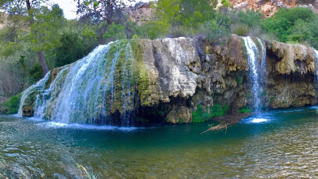
Tufa waterfalls and pools on the River Sot, in the neighbouring village of Sot de Chera.
~19 km by car
Sleep right by the trail
Our accommodation is in the centre of the village: you can walk to almost every route.
-
Apartment La Muela 1
200 m from the main car park
- 5 guests
- 2 bedrooms
- 1 bathroom
- 65 m²
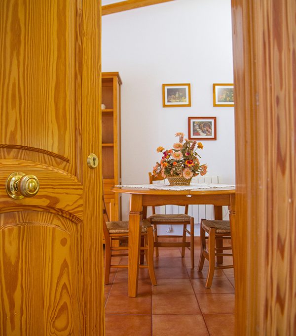
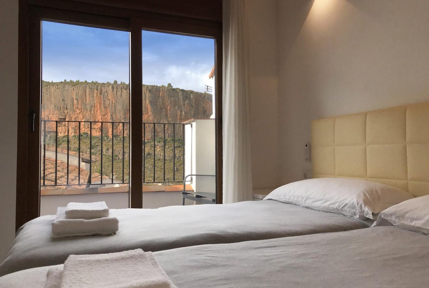
Two bedrooms with two beds each, a living-dining room open to the kitchen and a work corner with good Wi-Fi.
from 90 € / nightSunday to Thursday · 2-night minimum
-
Apartment La Muela 2
Balcony with views of the Turia canyon
- 5 guests
- 2 bedrooms
- 1 bathroom
- 65 m²
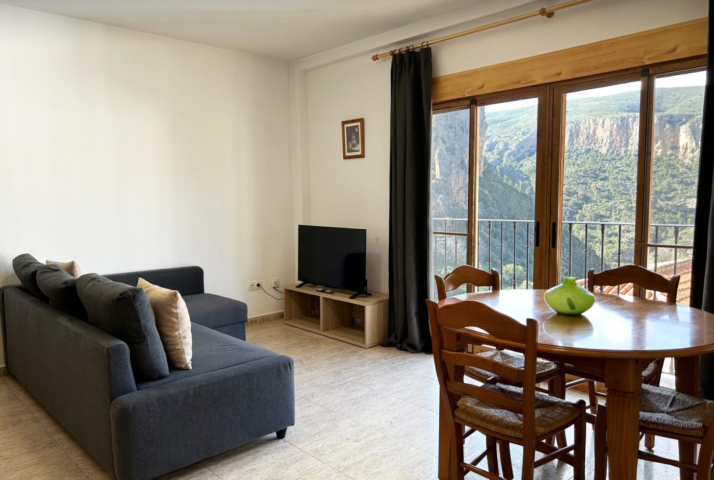
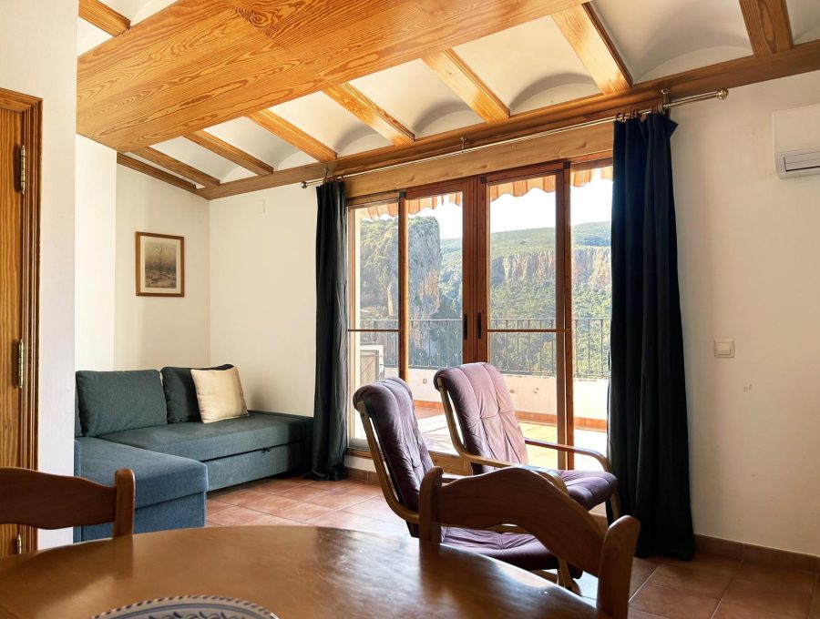
Second floor with a balcony over the Turia canyon, two bedrooms, a living room and an equipped kitchen.
from 90 € / nightSunday to Thursday · 2-night minimum
-
Apartment La Muela 3
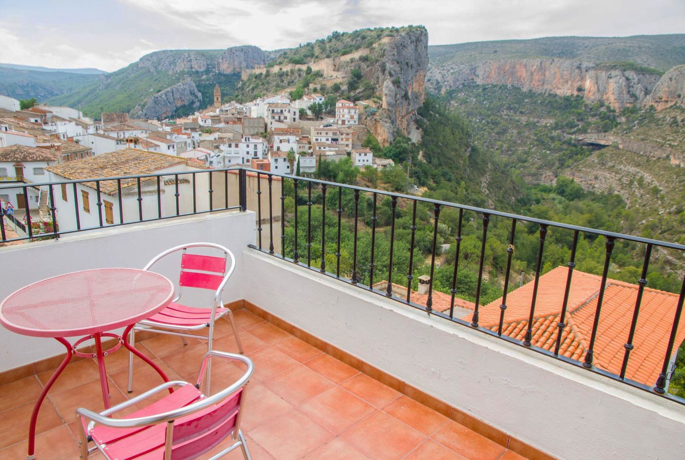
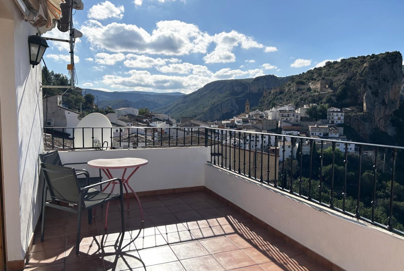
Private terrace with views of the castle and the canyon
- 3 guests
- 1 bedroom
- 1 bathroom
- 55 m²
Third floor with a private terrace and views of the castle and the canyon, next to the main car park.
-
Rural cottage La Cambreta
Terrace with castle views
- 3 guests
- 1 bedroom
- 1 bathroom
- 55 m²
A former farm storehouse restored in 2020: two small floors and a terrace facing the castle.