Las Cuevas – La Peñeta
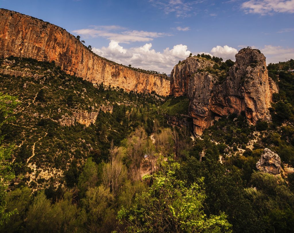
Local trail SL-CV 72: the shortest walk in Chulilla and one of the prettiest, round the back of the castle cliff to La Peñeta viewpoint.
| 1.1 km | circular, from Plaza de la Baronía |
| 40 min | at an easy pace, stopping at the viewpoints |
| +130 m | of total ascent |
| Easy | with a few exposed sections, ropes and steps |
Where the canyon begins
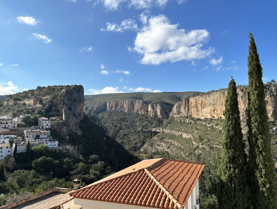
In barely a kilometre you see everything around the village: the start of the Turia gorges and the open valley downstream.
Las Cuevas was where villagers took shelter on rainy days: they mended baskets and made esparto ropes there. Its walls were among the first to be climbed in Chulilla, in the 70s and 80s, and today they have been re-bolted.
Step by step
- Calle Las Cuevas viewpoint. Your first look into the canyon.
- Las Cuevas. The old rain shelter, now a climbing sector.
- The boulder field. The path crosses a rockfall of giant boulders; take care, the ravine is close.
- The Trascastillo orchards. Below, by the river, the oldest in the village, with irrigation channels of Arab origin.
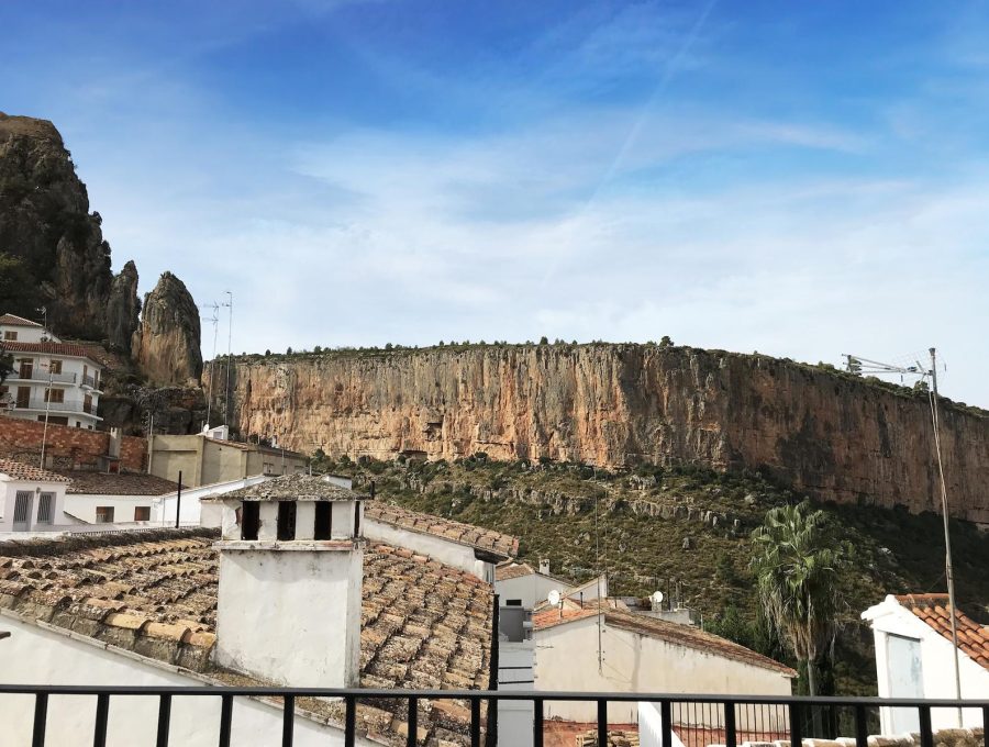
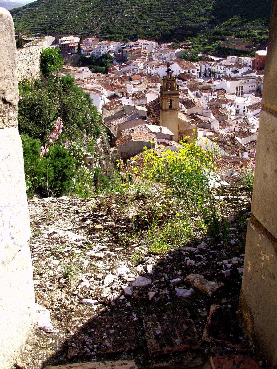
- La Peñeta viewpoint. At the end of Calle Mayor: the whole Turia valley, the La Ermita quarter and, opposite, El Frailecico and the Gollizno Cave.
- Back. Along Calle Mayor to the square, or climb Calle Buenavista to the castle and the church.
Good to know
- With children: it’s short and easy, but there are sections with ropes, steps and the odd dizzying spot. Hold their hands in the boulder field.
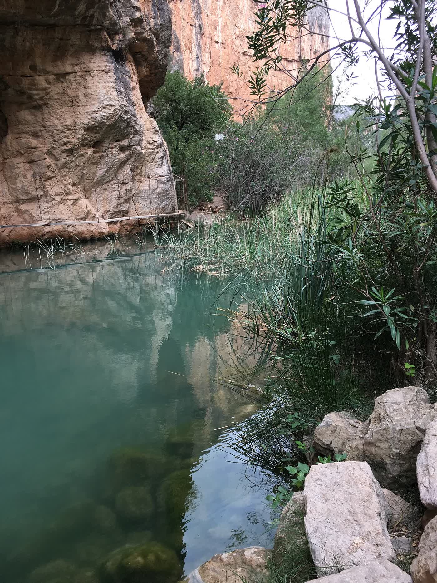
- For a swim: from La Peñeta you can see a patch of poplars: that’s the Remanso de Las Mulas, a small pool suitable for children in summer.
- At sunset: La Peñeta viewpoint is one of the best spots in the village to watch the sun go down.
Where it is
Location on the map of the area. Always follow the trail waymarks.
- Chulilla Castle
- La Peñeta viewpoint (this route)
- El Frailecico
- Charco Azul viewpoint
- Hoces del Turia viewpoint
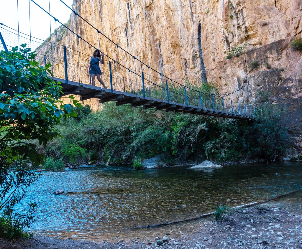
- Hanging bridges
- La Cruz viewpoint
- Hanging Bridges Route
- Path
- Track
- Car park (yellow: paid)
Map data: © OpenStreetMap contributors (ODbL). Approximate map: it doesn't replace the waymarks or the guidebook.
More routes from Chulilla
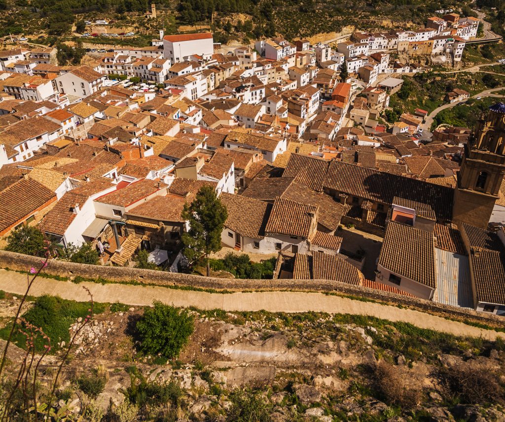
La Muela and La Cruz viewpoint
Climb to the ridge of La Muela via the Lebrillico spring.
3.5 km · SL-CV 71
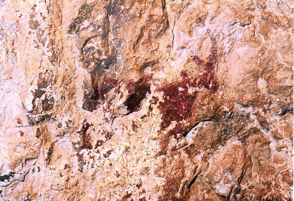
The rock paintings
Hunting and dancing scenes thousands of years old, a World Heritage Site.
Falfiguera ravine

El Frailecico and its caves
A Moorish watchtower, a cave once used as a livestock pen and a waterfall that only appears after rain.
~8 km · moderate to hard
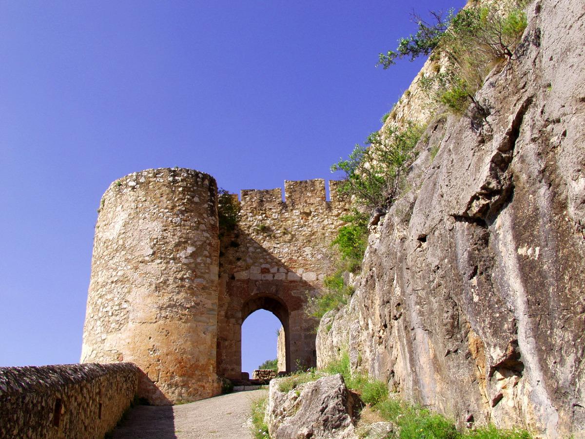
Up to the castle
The Arab fortress watching over the village and the canyon from the top of the crag.
In the village

The Peña Cortada aqueduct
Roman arches and tunnels cut into the rock, between Chelva and Calles.
PR-CV 92 · 13.9 km
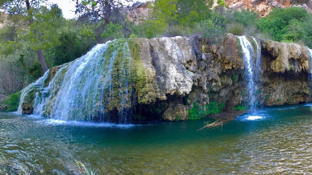
Las Toscas
Tufa waterfalls and pools on the River Sot, in the neighbouring village of Sot de Chera.
~19 km by car
Sleep right by the trail
Our accommodation is in the centre of the village: you can walk to almost every route.
-
Apartment La Muela 1
200 m from the main car park
- 5 guests
- 2 bedrooms
- 1 bathroom
- 65 m²
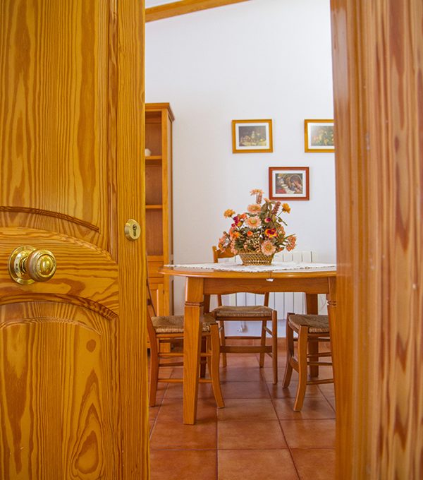
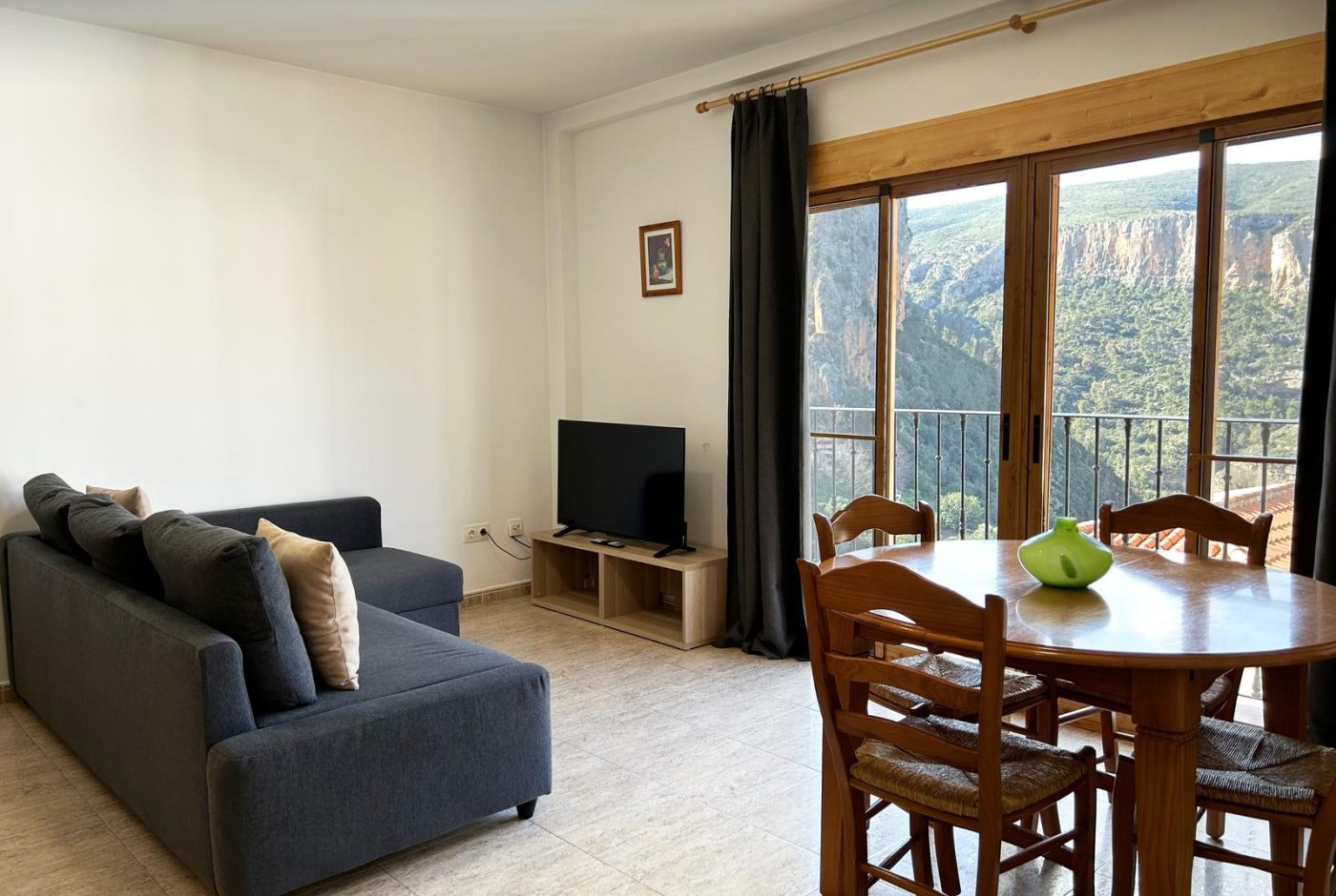
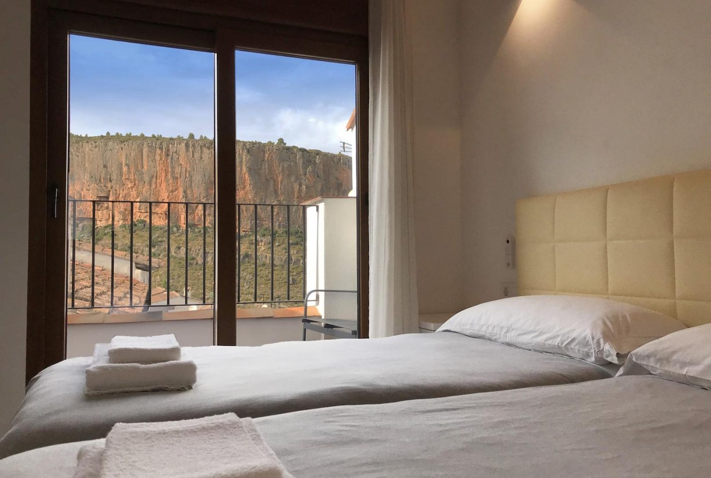
Two bedrooms with two beds each, a living-dining room open to the kitchen and a work corner with good Wi-Fi.
from 90 € / nightSunday to Thursday · 2-night minimum
-
Apartment La Muela 2
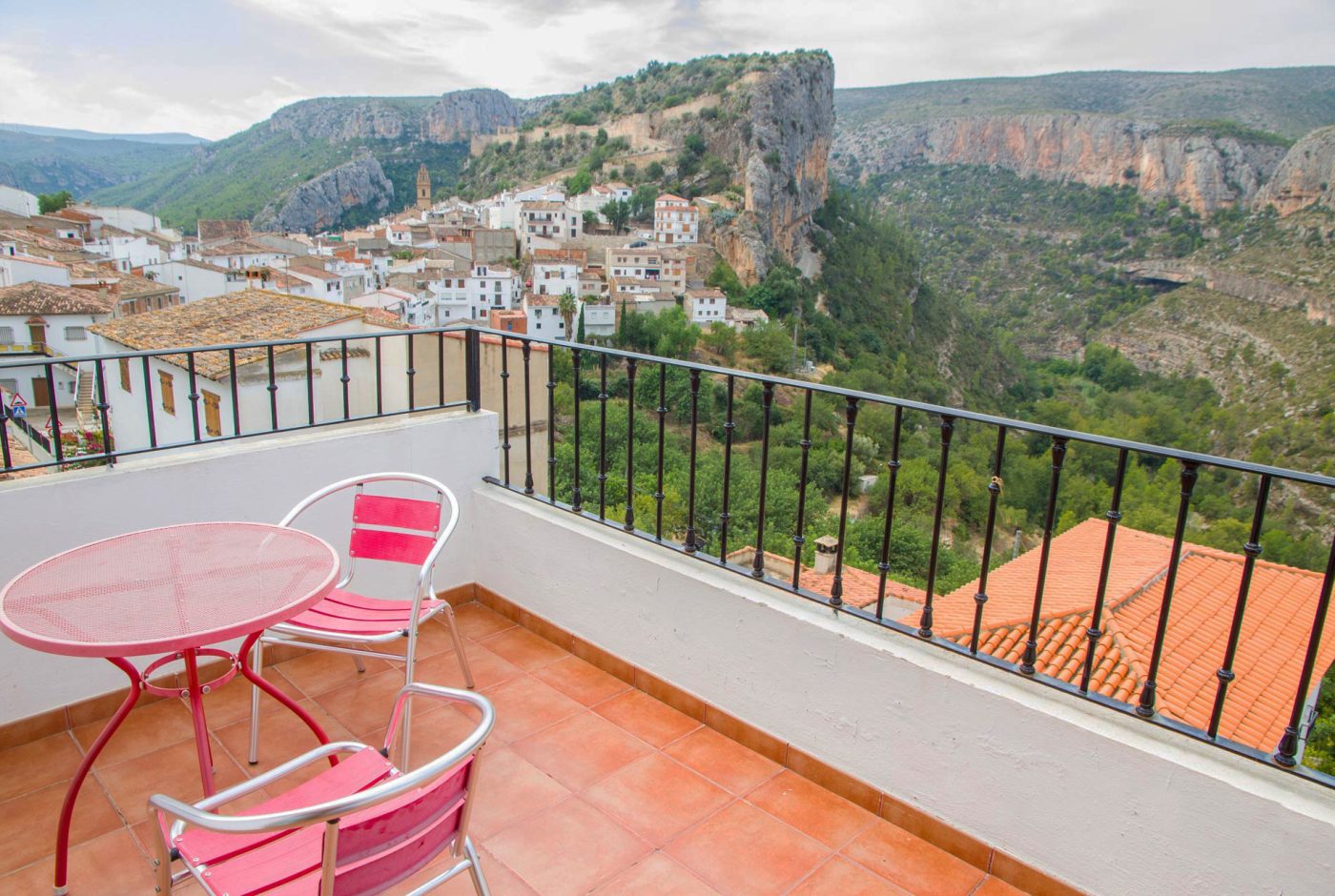
Balcony with views of the Turia canyon
- 5 guests
- 2 bedrooms
- 1 bathroom
- 65 m²
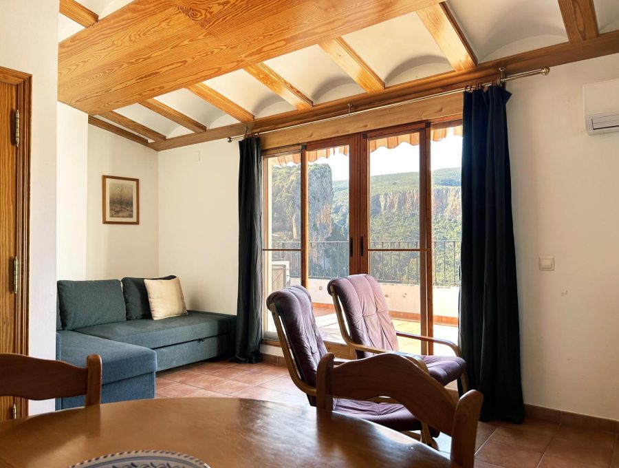
Second floor with a balcony over the Turia canyon, two bedrooms, a living room and an equipped kitchen.
from 90 € / nightSunday to Thursday · 2-night minimum
-
Apartment La Muela 3
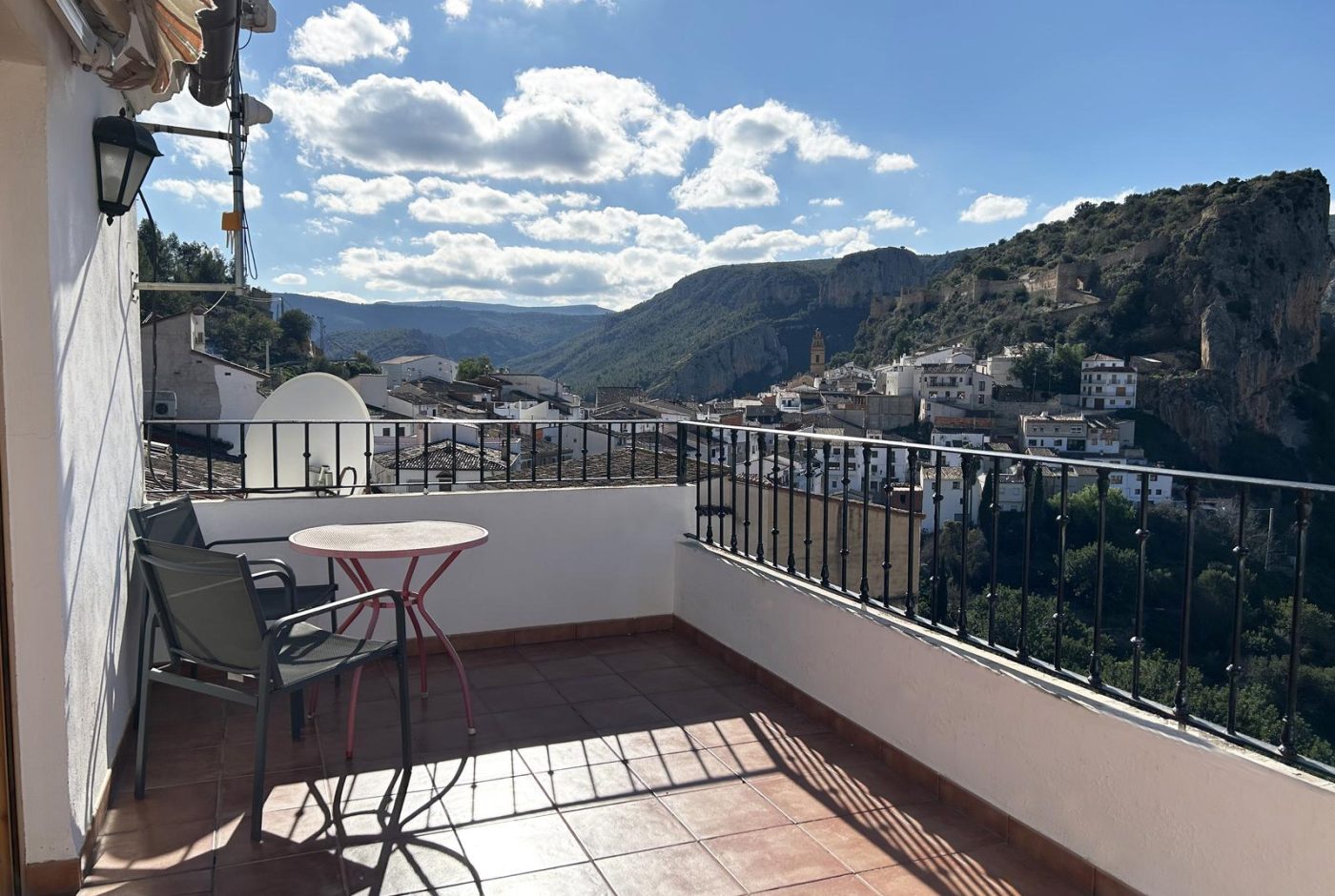
Private terrace with views of the castle and the canyon
- 3 guests
- 1 bedroom
- 1 bathroom
- 55 m²
Third floor with a private terrace and views of the castle and the canyon, next to the main car park.
-
Rural cottage La Cambreta
Terrace with castle views
- 3 guests
- 1 bedroom
- 1 bathroom
- 55 m²
A former farm storehouse restored in 2020: two small floors and a terrace facing the castle.