El Frailecico and the Gollizno and Tesoro caves
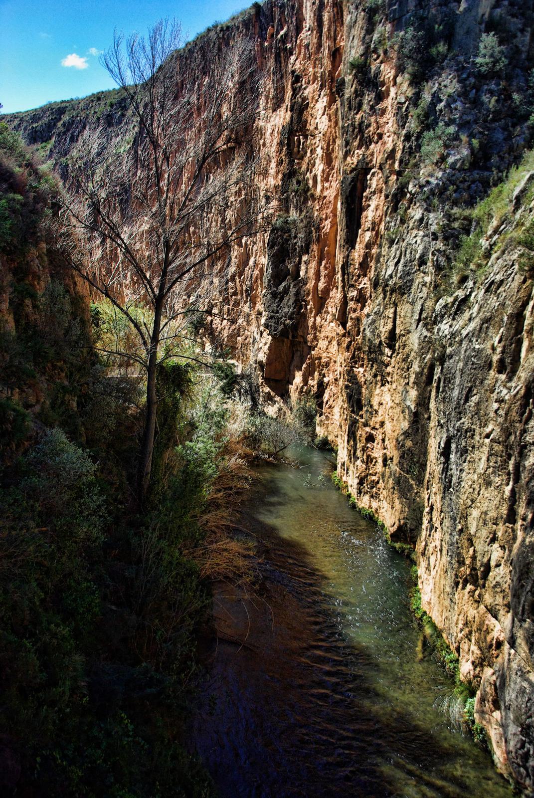
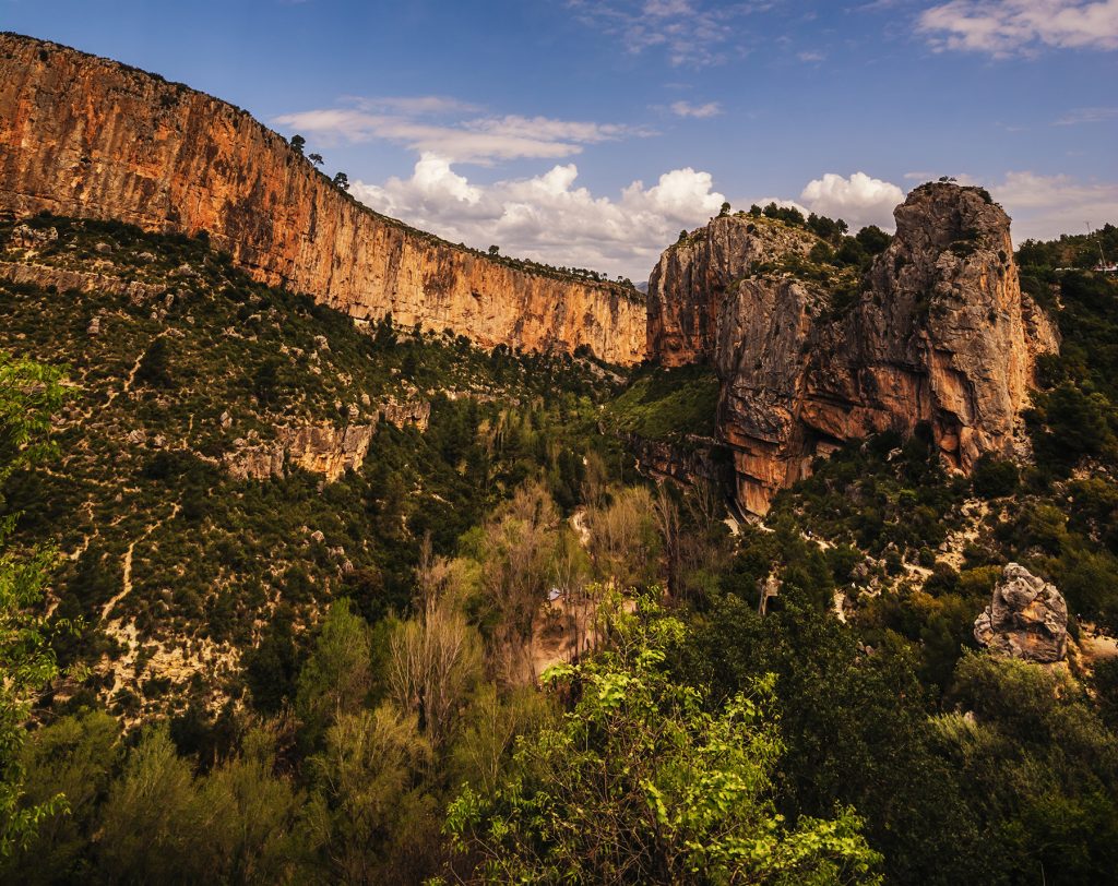
A demanding route on the other side of the river: climb El Frailecico hill, once home to a Moorish watchtower, and follow the ravine to the Gollizno and Tesoro caves.

| ~8 km | circular; there’s no official route sheet, so the distance is approximate |
| ~400 m | of total ascent |
| Moderate to hard | with steep climbs |
| 468 m | altitude at the top of El Frailecico |
Lookout, pen and waterfall
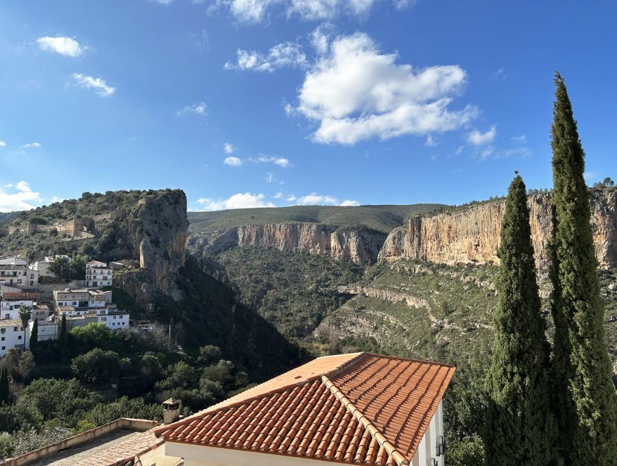
Centuries ago a Moorish watchtower stood on top of El Frailecico; a well from that time still survives. From the top you can see the castle, the river and the whole village.
The Gollizno Cave was used as a livestock pen. The stains on its roof are traces of water: after about 48 hours of rain a waterfall forms.
Step by step
- Start at Plaza de la Baronía. Head down to the lower part of the village along Calle Turia to the river.
- At the foot of the mountain. After crossing the bridge, the path leads to the base of the hill.
- Climb to El Frailecico. Up to the old watchtower, with views of the castle and the Turia.
- Gollizno Cave. Along the ravine, the great cave-pen.
- Tesoro Cave. A little higher up, with a small entrance.
- Back. The same way to the lower part of the village and through the streets to the square.
Good to know
- Tesoro Cave: access is tricky; don’t go in without caving gear. Bring a torch if you want to peek inside.
- Pace: allow half a day; bring water and food.
- After rain: that’s when the Gollizno waterfall is worth it, but the ground is slippery.
Where it is
Location on the map of the area. Always follow the trail waymarks.
- Chulilla Castle
- La Peñeta viewpoint
- El Frailecico (this route)
- Charco Azul viewpoint
- Hoces del Turia viewpoint
- Hanging bridges
- La Cruz viewpoint
- Hanging Bridges Route
- Path
- Track
- Car park (yellow: paid)
Map data: © OpenStreetMap contributors (ODbL). Approximate map: it doesn't replace the waymarks or the guidebook.
More routes from Chulilla
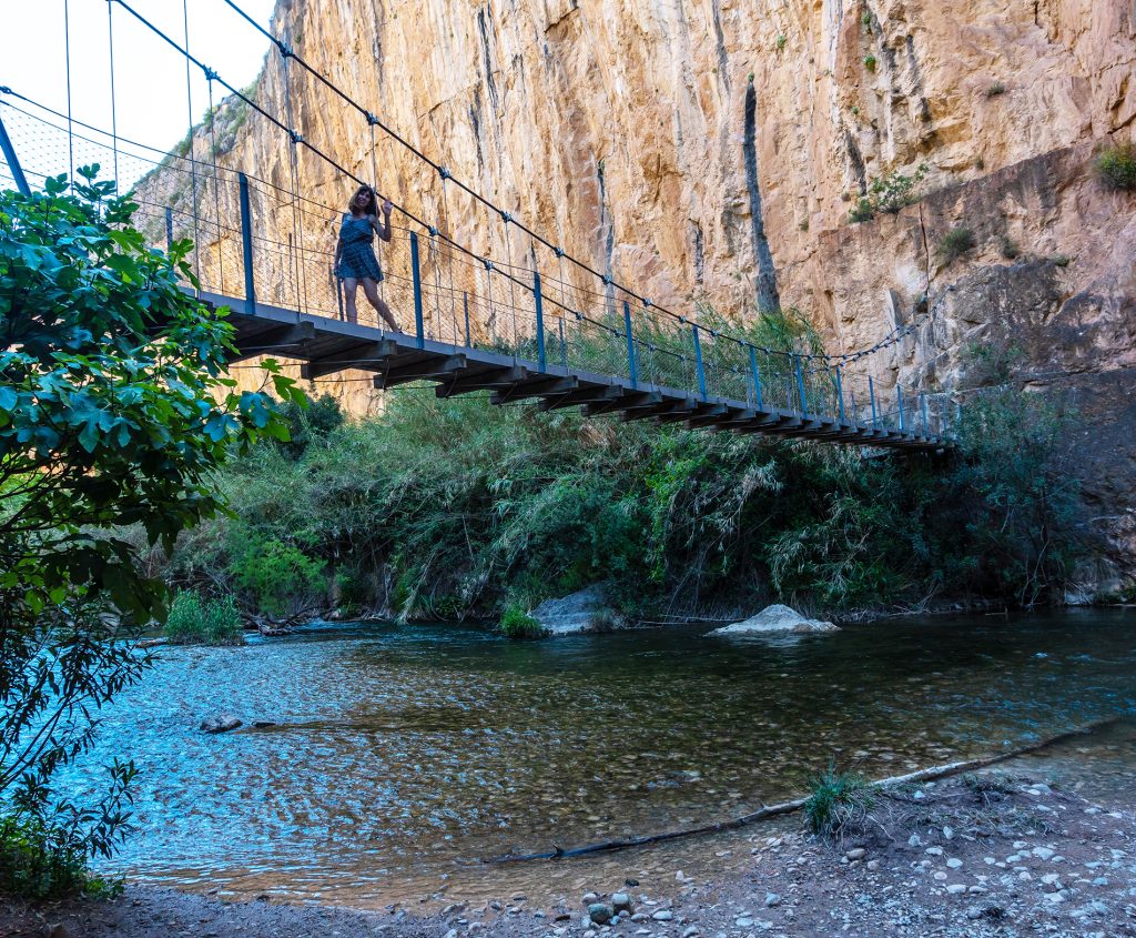
Las Cuevas – La Peñeta
The shortest walk, round the back of the castle, to the best viewpoint over the valley.
1.1 km · SL-CV 72
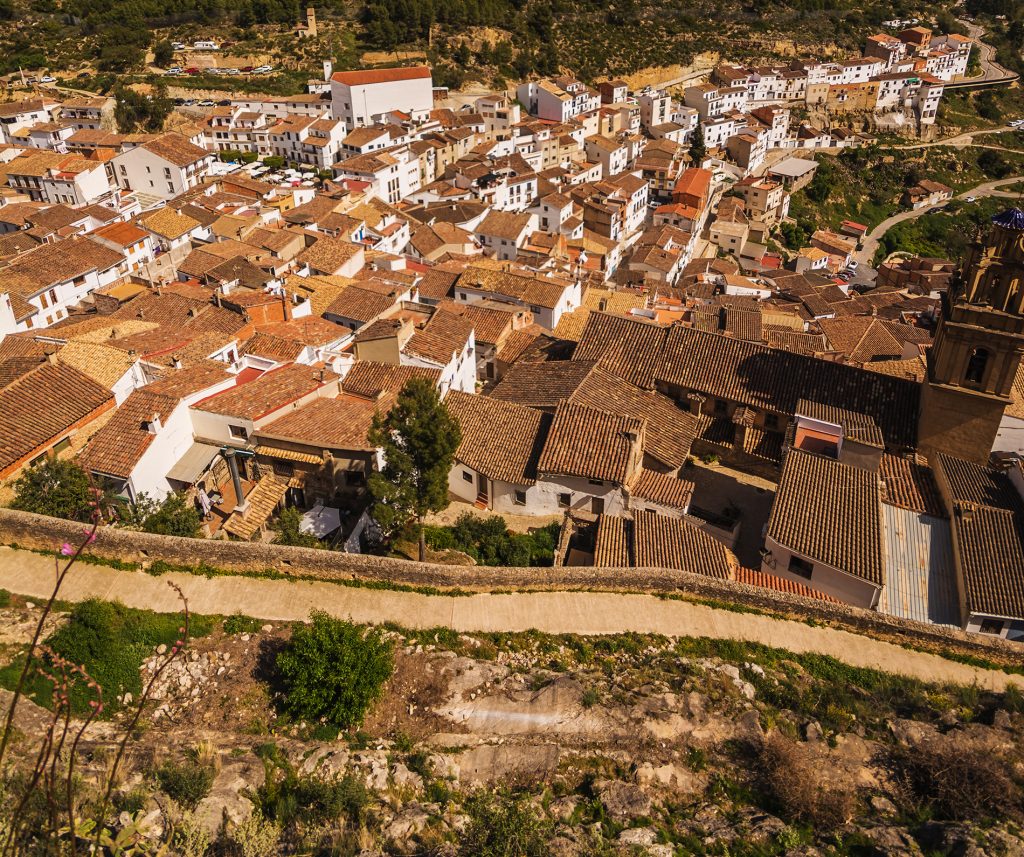
La Muela and La Cruz viewpoint
Climb to the ridge of La Muela via the Lebrillico spring.
3.5 km · SL-CV 71
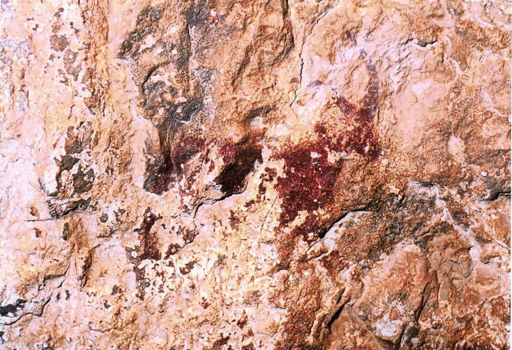
The rock paintings
Hunting and dancing scenes thousands of years old, a World Heritage Site.
Falfiguera ravine
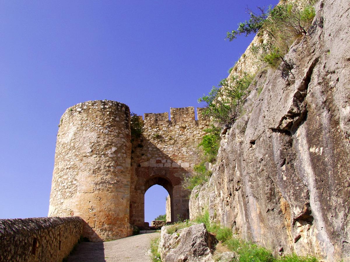
Up to the castle
The Arab fortress watching over the village and the canyon from the top of the crag.
In the village

The Peña Cortada aqueduct
Roman arches and tunnels cut into the rock, between Chelva and Calles.
PR-CV 92 · 13.9 km
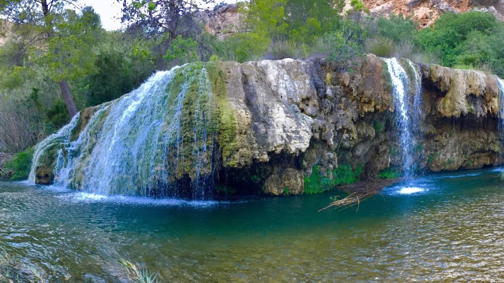
Las Toscas
Tufa waterfalls and pools on the River Sot, in the neighbouring village of Sot de Chera.
~19 km by car
Sleep right by the trail
Our accommodation is in the centre of the village: you can walk to almost every route.
-
Apartment La Muela 1
200 m from the main car park
- 5 guests
- 2 bedrooms
- 1 bathroom
- 65 m²
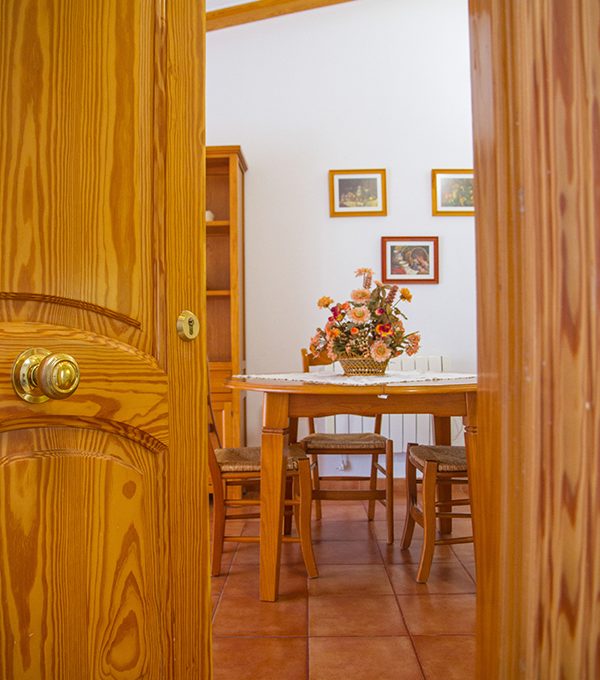
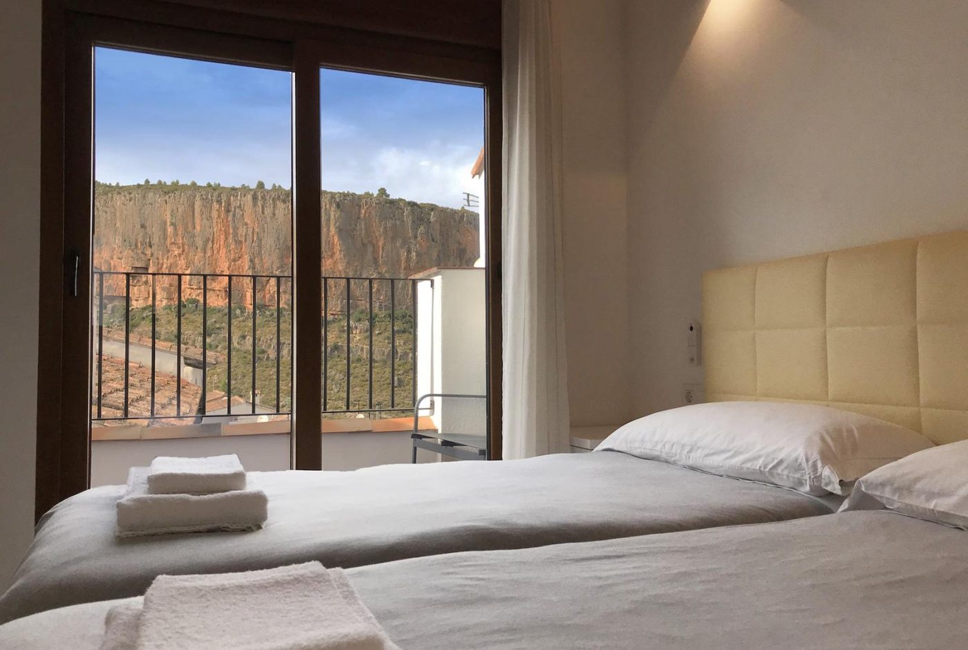
Two bedrooms with two beds each, a living-dining room open to the kitchen and a work corner with good Wi-Fi.
from 90 € / nightSunday to Thursday · 2-night minimum
-
Apartment La Muela 2
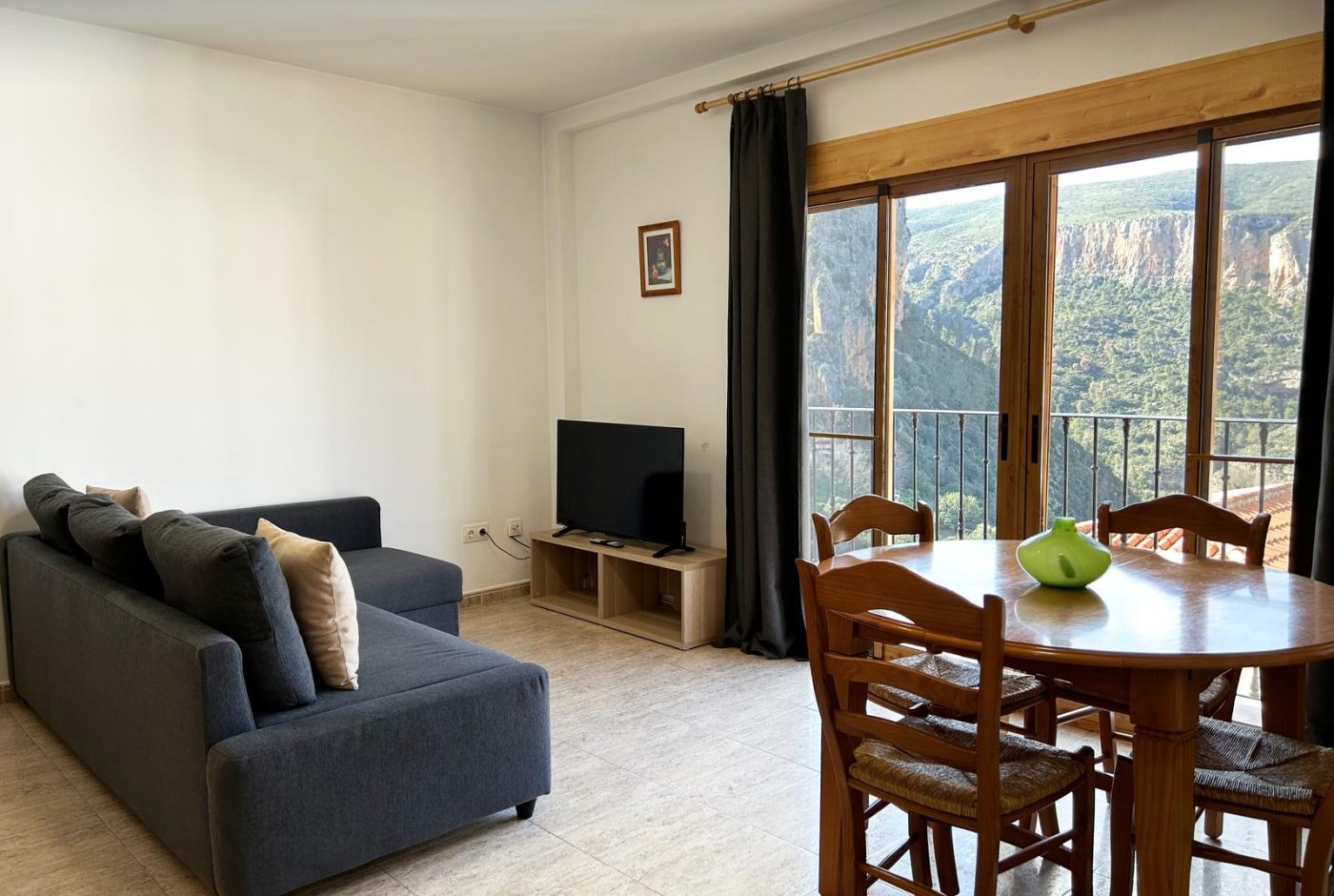
Balcony with views of the Turia canyon
- 5 guests
- 2 bedrooms
- 1 bathroom
- 65 m²
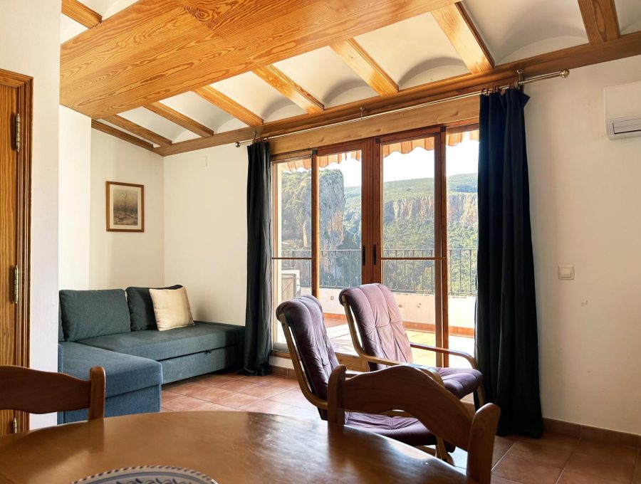
Second floor with a balcony over the Turia canyon, two bedrooms, a living room and an equipped kitchen.
from 90 € / nightSunday to Thursday · 2-night minimum
-
Apartment La Muela 3
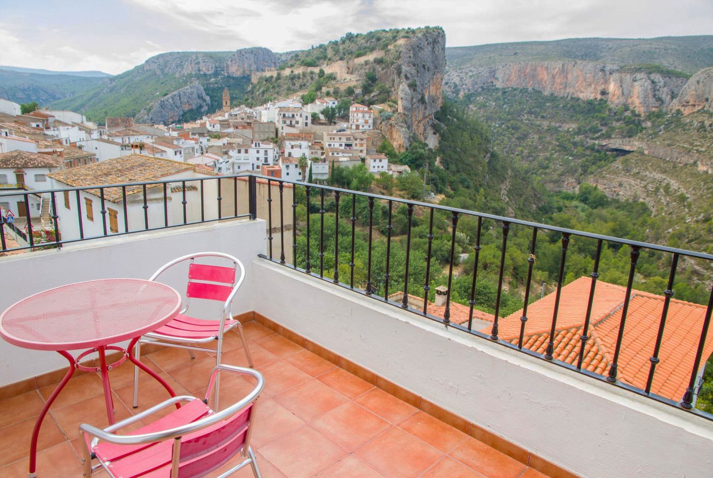
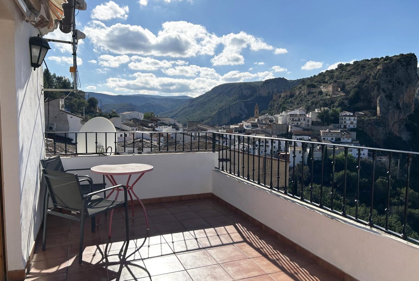
Private terrace with views of the castle and the canyon
- 3 guests
- 1 bedroom
- 1 bathroom
- 55 m²
Third floor with a private terrace and views of the castle and the canyon, next to the main car park.
-
Rural cottage La Cambreta
Terrace with castle views
- 3 guests
- 1 bedroom
- 1 bathroom
- 55 m²
A former farm storehouse restored in 2020: two small floors and a terrace facing the castle.