Walk up to Chulilla Castle
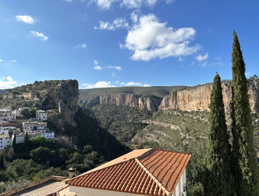
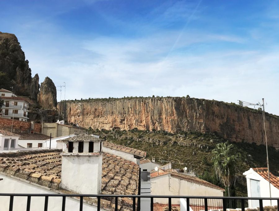
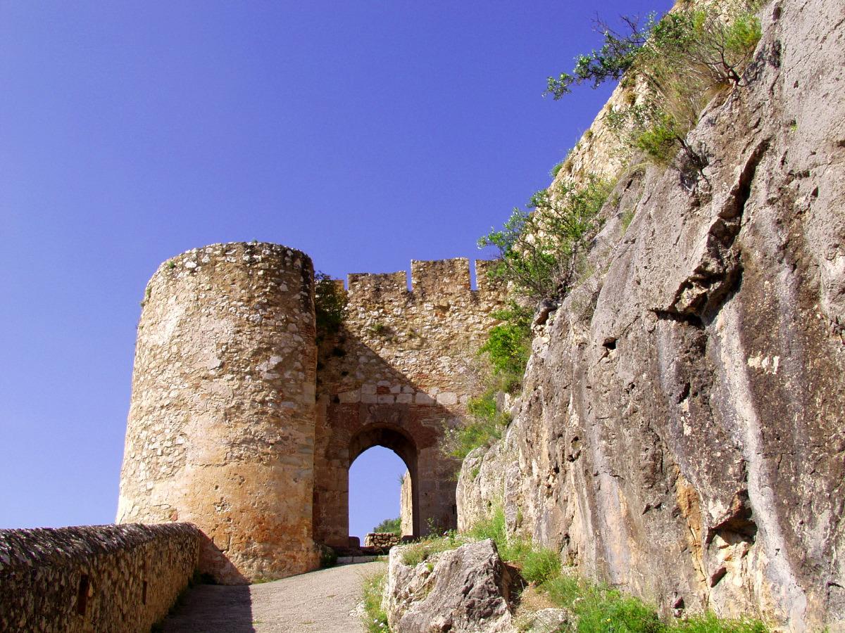
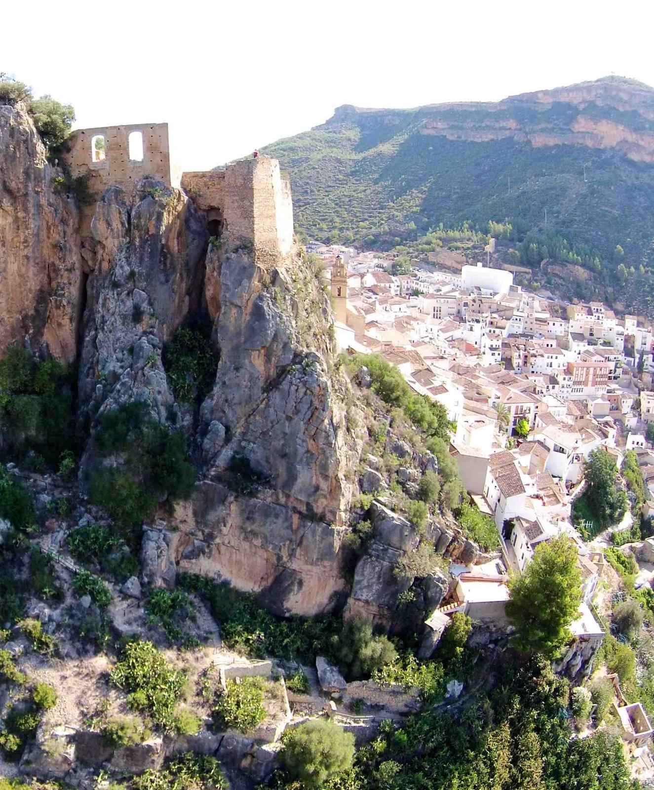
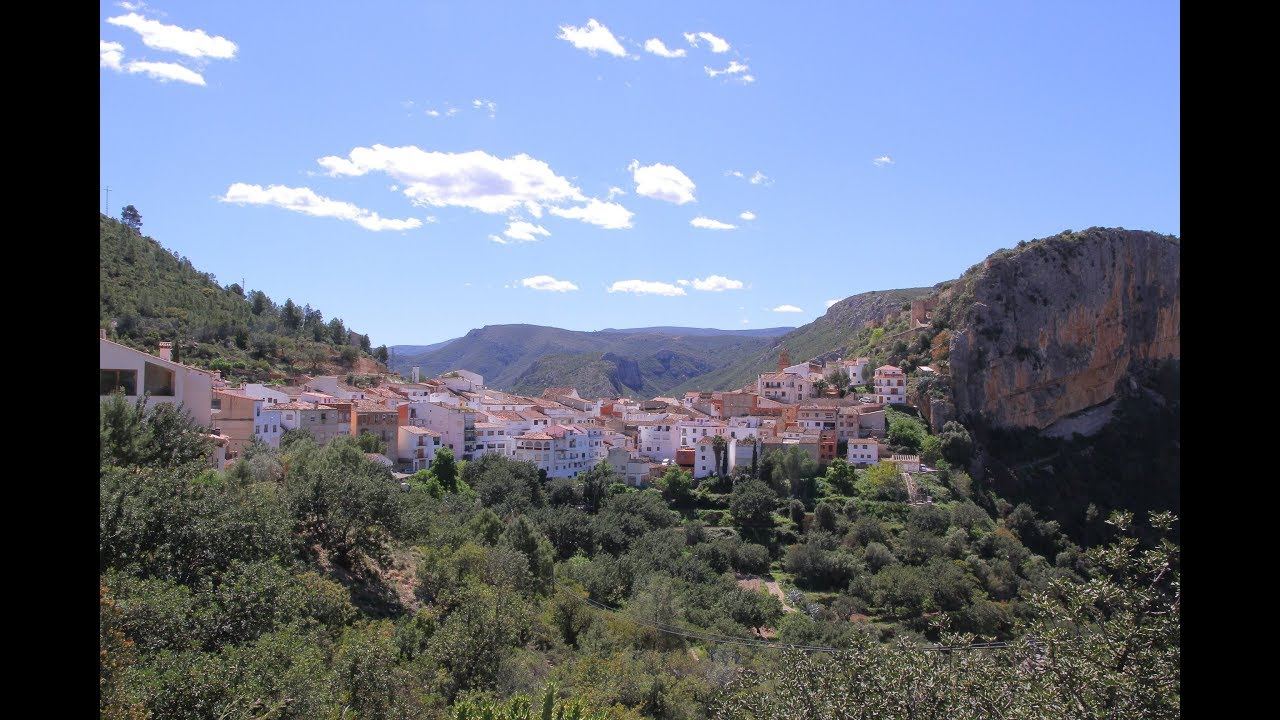
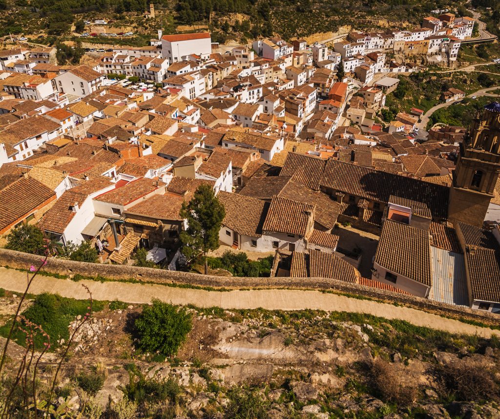
The fortress of Moorish origin that crowns the crag above the village: you walk up through the streets of the old town and from the top you can see the whole Turia canyon.
| Short | walk up from the village, with steep slopes |
| +200 m | of walled enclosure, with towers |
| 1981 | declared a historic-artistic monument |
| 1872 | last military use of the fortress |
A thousand years of history
The fortress is of Moorish origin, though there were probably earlier defences. After the Middle Ages it was remodelled between the 14th and 16th centuries, served as a residence and as a prison for clergy, and was occupied during the War of the Spanish Succession, the Peninsular War and the Carlist Wars, until 1872.
An earthquake in the 18th century and the wars of the 19th left it in ruins. Nothing remains of its hermitage of San Miguel.
The castle on video
The structure and history of the fortress, explained by the town chronicler.
Step by step
- From the square. Climb through the streets of the old town towards Calle Castillo, following the signs.
- The outer wall. With arrow slits and a round albarrana tower: it defended the only accessible side of the crag; the rest is sheer cliff above the Turia.
- The enclosure. Remains of rooms, including a vaulted hall.
- The noble quarter. To the south, the residence of the lord of the castle: U-shaped buildings around the old parade ground and a large square tower.
- The cisterns. At the very top of the hill, remains of the water tanks survive.
Good to know
- Guided tours: tours of the old town and the castle run on booking; ask at the tourist office (961 657 979).
- Footwear: the ground is uneven and there are slopes: trainers are better than sandals.
- Time: at sunset, the light over the canyon is at its best.
Where it is
Location on the map of the area. Always follow the trail waymarks.
- Chulilla Castle (this route)
- La Peñeta viewpoint
- El Frailecico
- Charco Azul viewpoint
- Hoces del Turia viewpoint
- Hanging bridges
- La Cruz viewpoint
- Hanging Bridges Route
- Path
- Track
- Car park (yellow: paid)
Map data: © OpenStreetMap contributors (ODbL). Approximate map: it doesn't replace the waymarks or the guidebook.
More routes from Chulilla
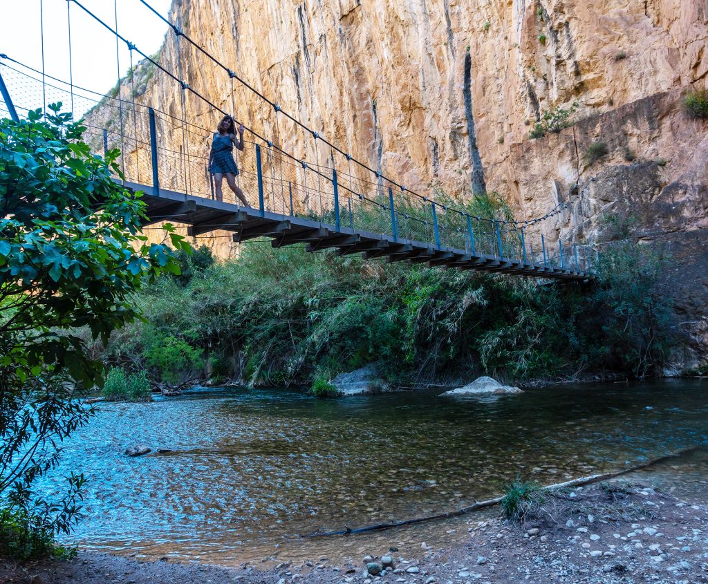
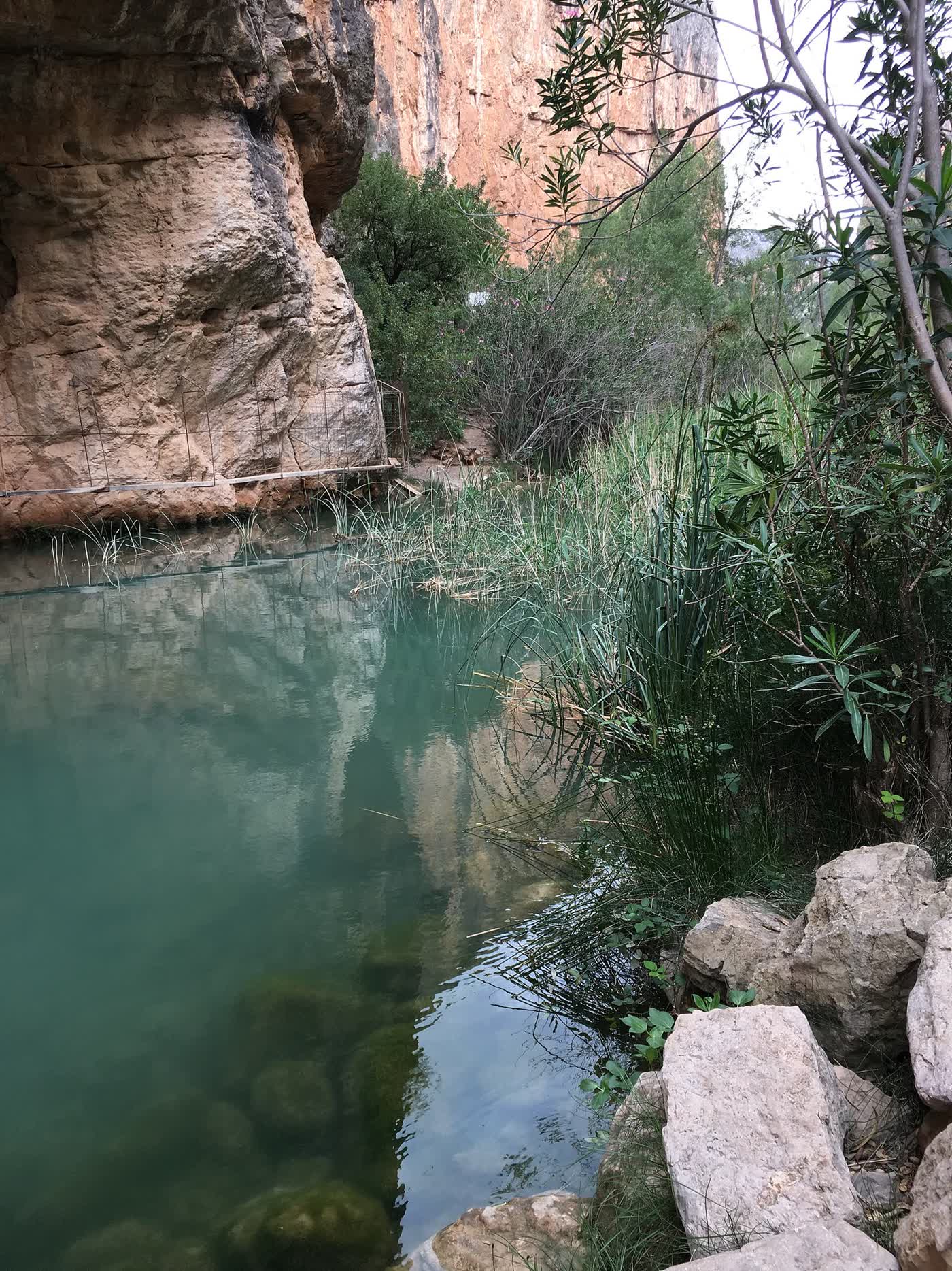
Las Cuevas – La Peñeta
The shortest walk, round the back of the castle, to the best viewpoint over the valley.
1.1 km · SL-CV 72
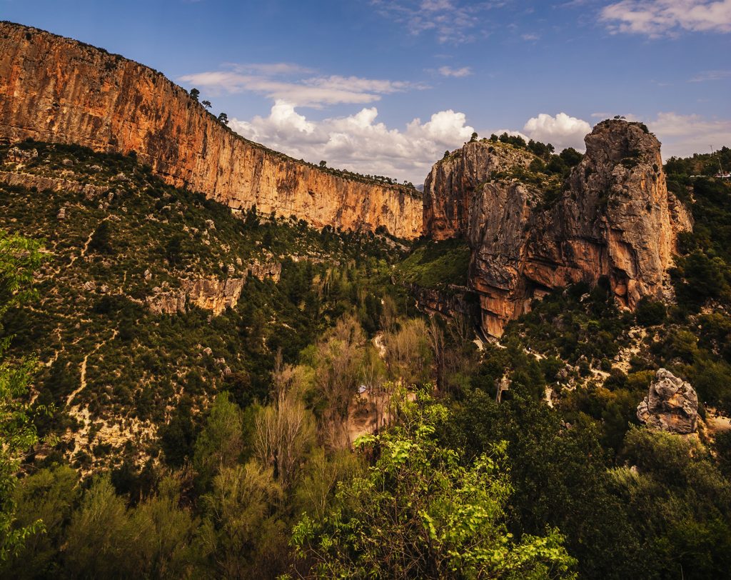
La Muela and La Cruz viewpoint
Climb to the ridge of La Muela via the Lebrillico spring.
3.5 km · SL-CV 71
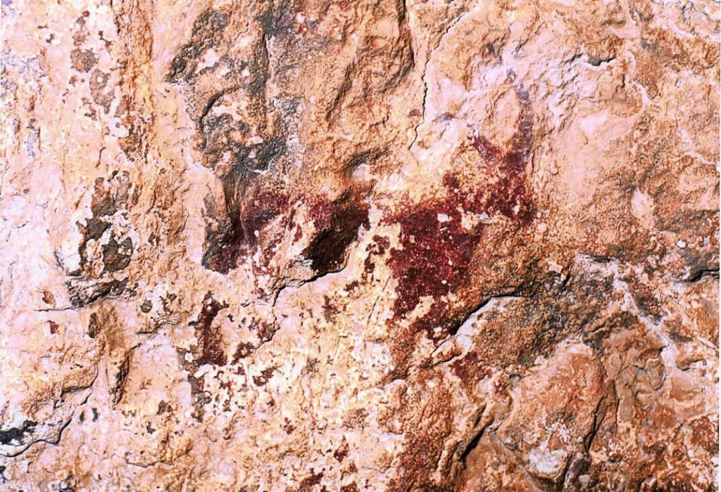
The rock paintings
Hunting and dancing scenes thousands of years old, a World Heritage Site.
Falfiguera ravine

El Frailecico and its caves
A Moorish watchtower, a cave once used as a livestock pen and a waterfall that only appears after rain.
~8 km · moderate to hard

The Peña Cortada aqueduct
Roman arches and tunnels cut into the rock, between Chelva and Calles.
PR-CV 92 · 13.9 km
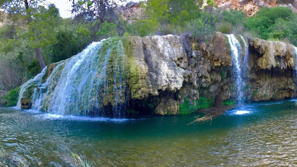
Las Toscas
Tufa waterfalls and pools on the River Sot, in the neighbouring village of Sot de Chera.
~19 km by car
Sleep right by the trail
Our accommodation is in the centre of the village: you can walk to almost every route.
-
Apartment La Muela 1
200 m from the main car park
- 5 guests
- 2 bedrooms
- 1 bathroom
- 65 m²
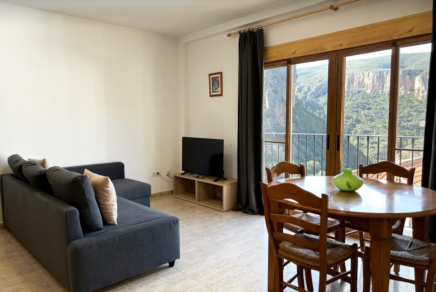
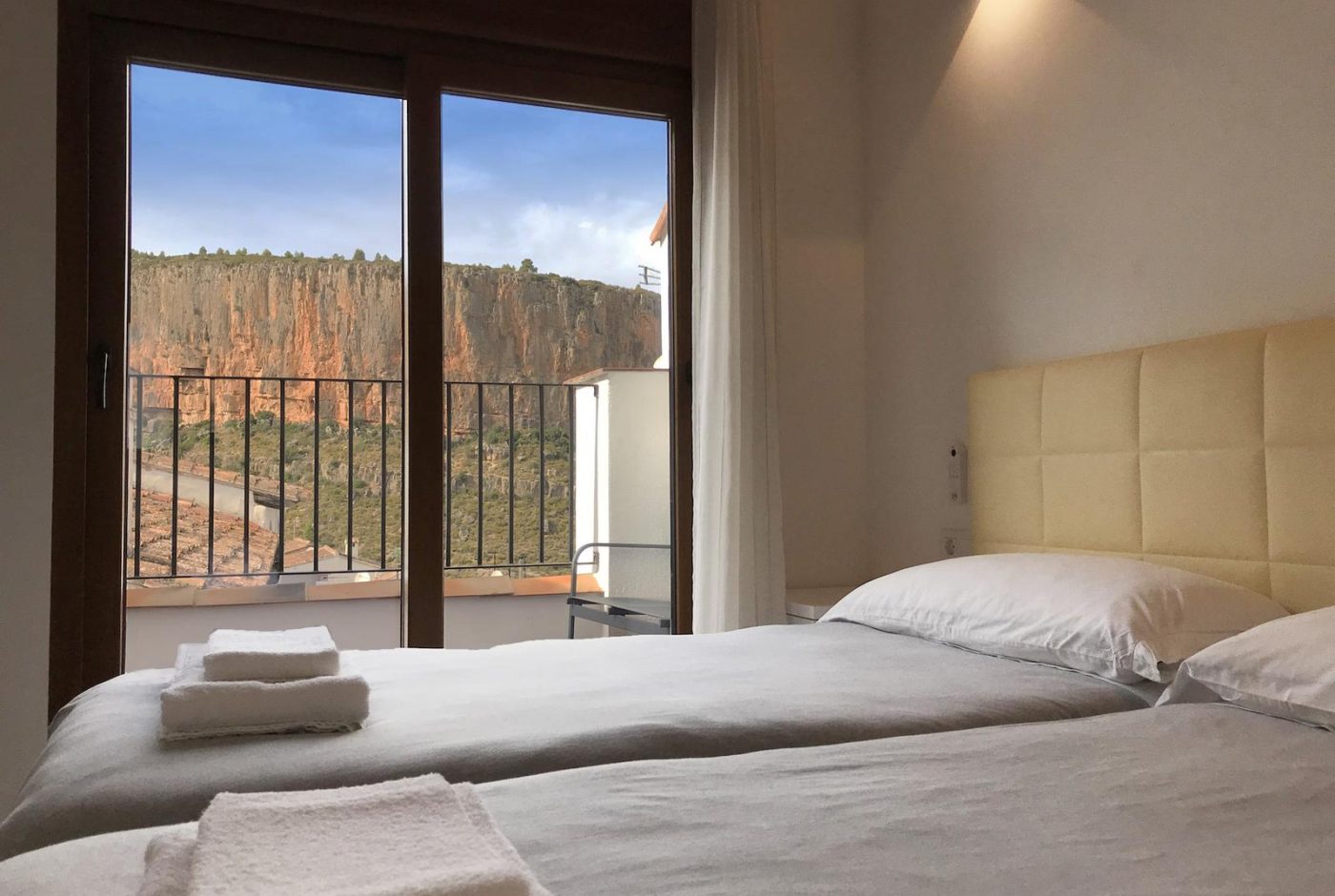
Two bedrooms with two beds each, a living-dining room open to the kitchen and a work corner with good Wi-Fi.
from 90 € / nightSunday to Thursday · 2-night minimum
-
Apartment La Muela 2
Balcony with views of the Turia canyon
- 5 guests
- 2 bedrooms
- 1 bathroom
- 65 m²
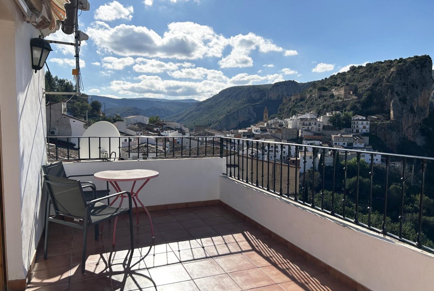
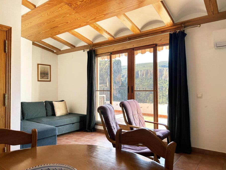
Second floor with a balcony over the Turia canyon, two bedrooms, a living room and an equipped kitchen.
from 90 € / nightSunday to Thursday · 2-night minimum
-
Apartment La Muela 3
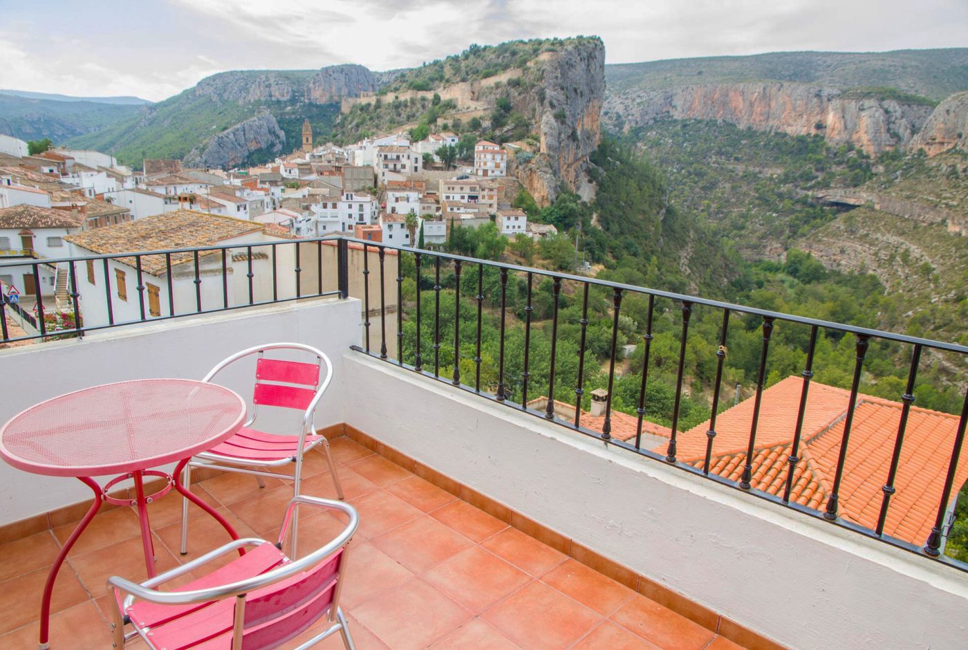
Private terrace with views of the castle and the canyon
- 3 guests
- 1 bedroom
- 1 bathroom
- 55 m²
Third floor with a private terrace and views of the castle and the canyon, next to the main car park.
-
Rural cottage La Cambreta
Terrace with castle views
- 3 guests
- 1 bedroom
- 1 bathroom
- 55 m²
A former farm storehouse restored in 2020: two small floors and a terrace facing the castle.