suspension bridges route
In the municipal area of the town there is a great attraction to practice a perfect hiking route.: the route of the hanging bridges also known as the Ruta de los Calderones or Senda de los Pantaneros.
We highlight the best routes in Chulilla and very close to our rural house.
Located on the Pantaneros route, the most popular in Chulilla.

5,5 Km
magnificent views
15m
height above the river
pilot whale route or also:
path of the pantaneros
In the municipal area of the town there is a great attraction to practice a perfect hiking route.: the route of the hanging bridges also known as the Ruta de los Calderones or Senda de los Pantaneros.
The route is recently built, 2013, Although the history of these bridges dates back to the years 50, in the years of the construction of the Loriguilla reservoir.
It was then, when the workers participating in the work decided to shorten the journey, between Chulilla and the reservoir, build two bridges that would be used to cross the Turia River canyon and thus shorten the journey time.
The flood of the year 1957, destroyed the two bridges built and even 2013 They were not rebuilt.
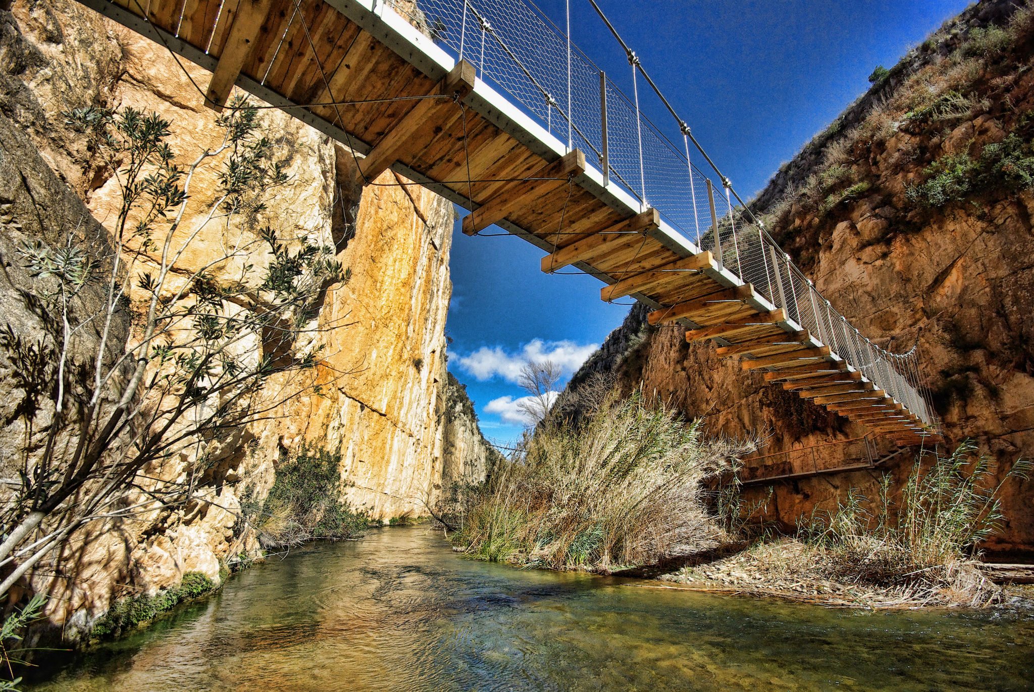
The route, to the bridges, has a length of 5,05 km. It has a medium-high difficulty. The highest bridge has a height above the river of about 15 m., and a length on your catwalk 21 m. The other bridge has a length of 28 m., and a height above the river 5,5 m.
suspension bridges route
chulilla
suspension bridges route
route of the pilot whales or path of the pantaneros
The route starts from the center of town, in Baronía Square, We will leave the town along Maestro Amblar Street, and we will continue along the road until we reach the El Altico hostel. We will descend a little and on the left we will find the first viewpoint “El Altico” with fantastic views of the Turia River Canyon.. From above you can see, the building that houses the floodgates of the canal that feeds the town's hydroelectric plant, located downstream.
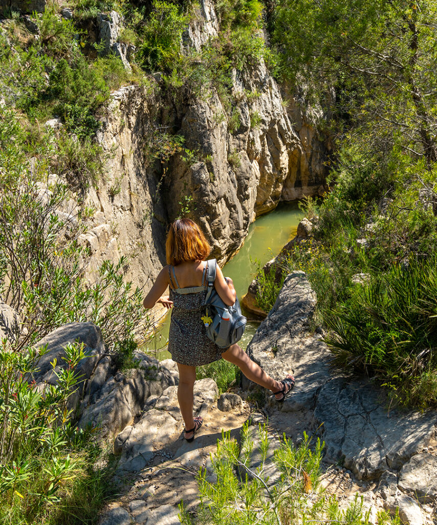
The path continues very close to the cliff and it is important to take extreme precautions, especially if children accompany us.
We will continue, already along the path towards the reservoir, and a few meters away we will find the next viewpoint, “La Carrucha”, from which we can see spectacular views of the natural haven “El Charco Azul”. Continuing along the path we observe how the Canyon closes, only allowing the passage of the Turia river. To our left, On the other side of the river we see the mountain of “La Punta”.
Little by little, we are approaching the bridges, At the end of this first part of the trail we find the Calderones area, area in which the Turia river makes a large meander.
From this point you can see in the distance, the first bridge, which we will access by going down the same stairs that the reservoir workers built and then the second bridge.
A second option would be to take the route from the Chulilla Ecopark, It is a shorter route but the viewpoints mentioned above cannot be seen.. In the Ecopark itself there is a parking area and another a little further ahead., almost at the beginning of the route as such.
Currently, The suspension bridges are used as access to the climbing areas of the Oasis sector in the Turia canyon.
After crossing the bridges, we can continue along the trail, which arrives first at the Loriguilla reservoir dam, It crosses it and heads up the mountain through the municipality of Loriguilla and Sot de Chera.. We must take into account that in total the path has 13 km., so you have to be prepared with enough water, Proper footwear and sun protection.
From fly to Chulilla, the path is circular, We will go down the FalFiguera ravine. At the beginning of the ravine we will find some valuable cave paintings, and we will continue descending along the path until we see the town of Chulilla crowned by the Castle.
Arrived at the Turia River, We will cross it and wander through the streets of Chulilla until we reach the starting point, Barony Square.

links of interest
accommodation for climbers. the rural grindstone

if you want to enjoy nature and want to stay for a long time, We offer you our rural house with special prices.


